9.0 miles away
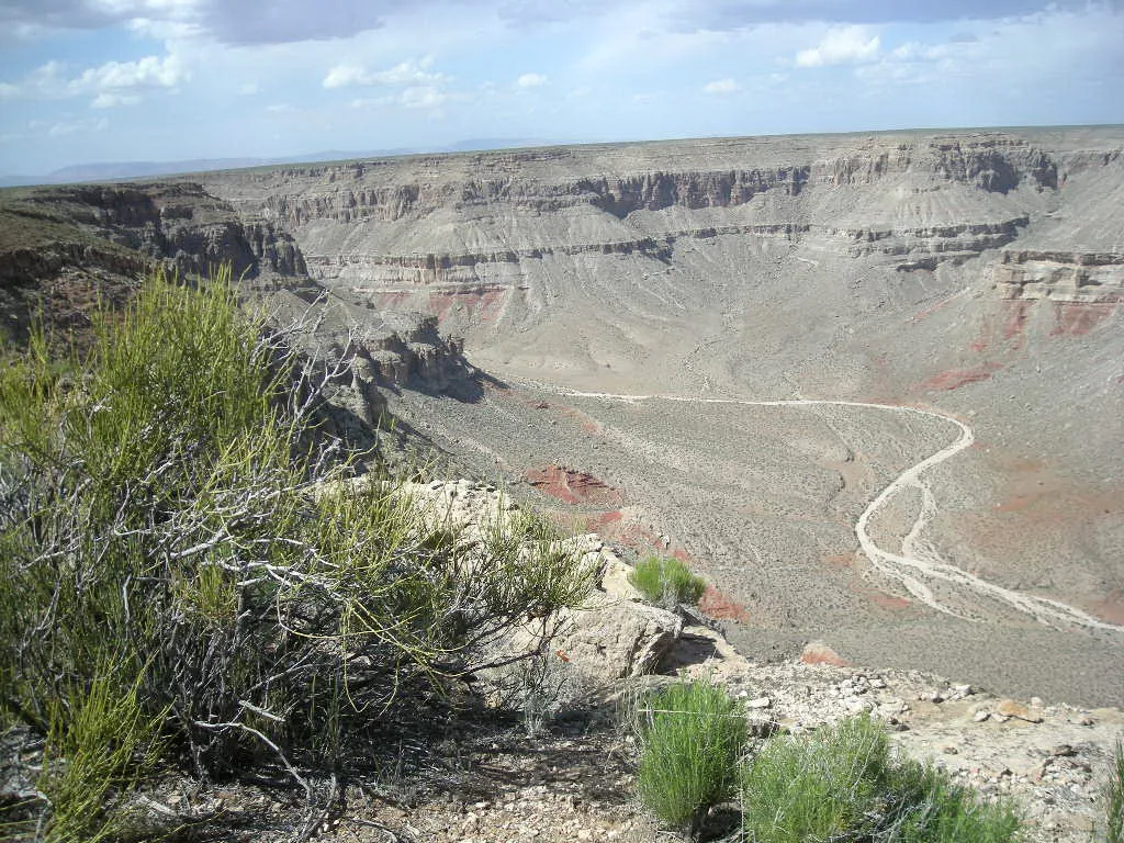
Baaj Nwaavjo I'tah Kukveni – Ancestral Footprints of the Grand Canyon National Monument
A national monument of more than 900,000 acres around the Grand Canyon, designated in 2023 and closed permanently to new uranium mining.
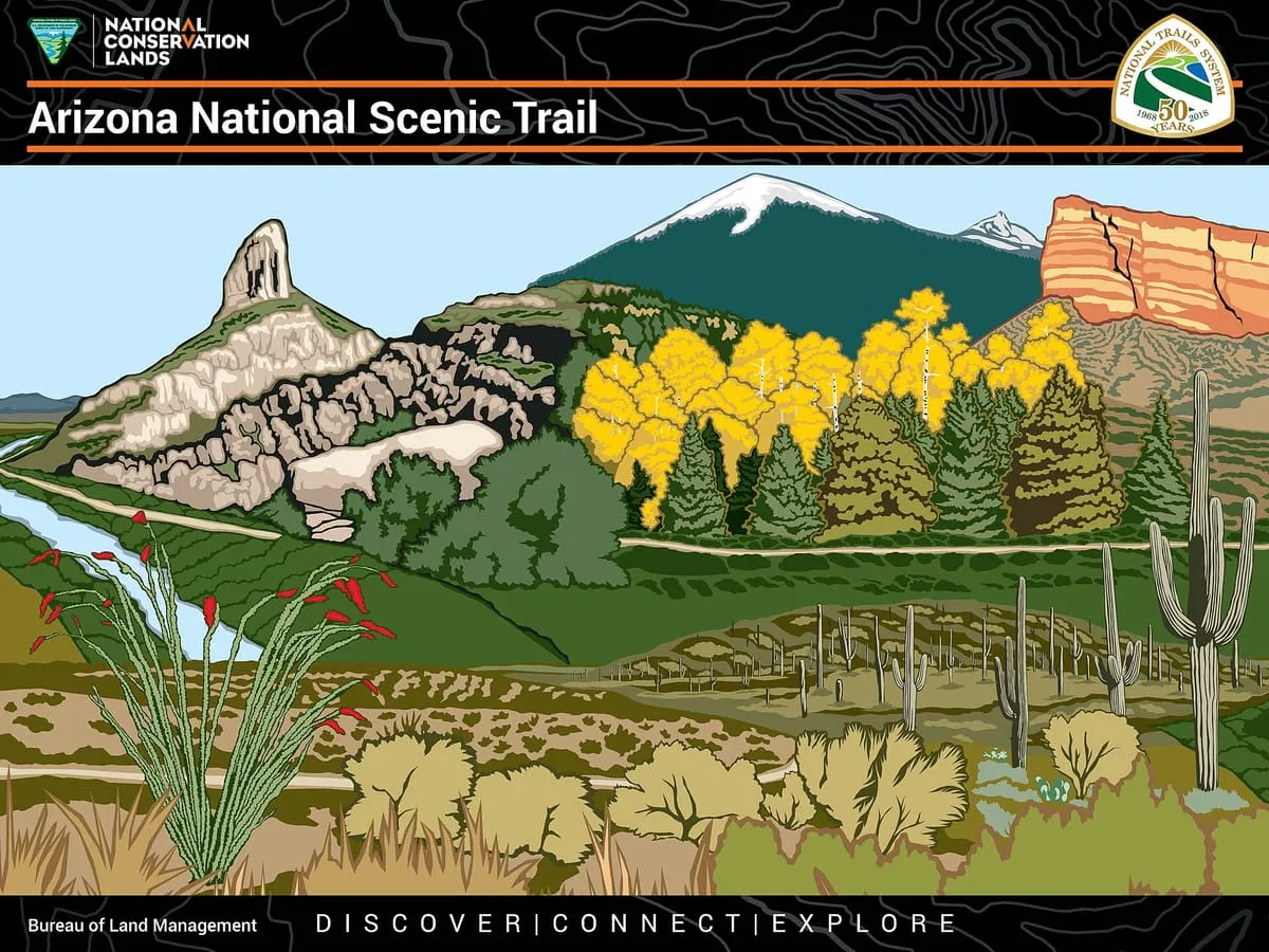
An 800-mile National Scenic Trail crossing Arizona from Mexico to Utah, completed in 2011 and open to walkers, riders and cyclists.
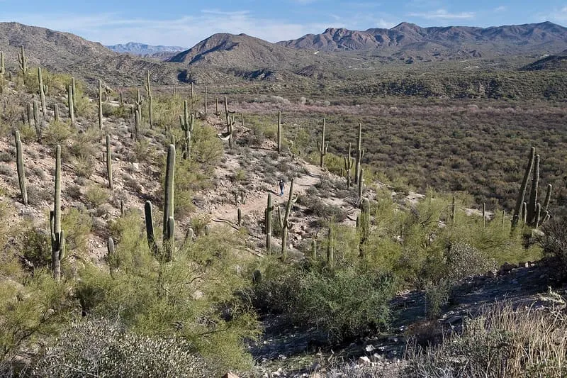
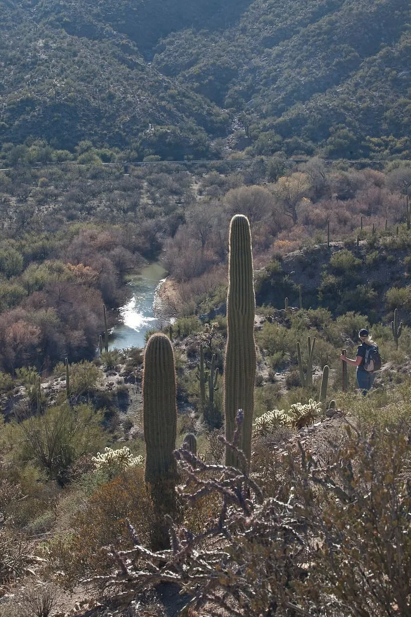
The Arizona National Scenic Trail is a National Scenic Trail running the full north–south length of Arizona, from Mexico to Utah. It begins at Coronado National Memorial near the United States–Mexico border and passes through parts of the Huachuca, Santa Rita and Rincon Mountains, the Santa Catalina Mountains north of Tucson and the Mazatzal Mountains, before ascending the Mogollon Rim north of Payson and reaching the higher country of northern Arizona and the San Francisco Peaks. It then crosses the Coconino Plateau, descends into and out of the Grand Canyon, and terminates near the Arizona–Utah border in the Kaibab Plateau region. The trail is 800 miles long and was completed on 16 December 2011. It was proposed in 1985 by Dale Shewalter, a Flagstaff teacher, and was designated a National Scenic Trail on 30 March 2009 by the Omnibus Public Land Management Act. It is built as a primitive trail for walking, horse riding, mountain biking and cross-country skiing, and forms part of a shortened version of the 6,875-mile Great Western Loop.
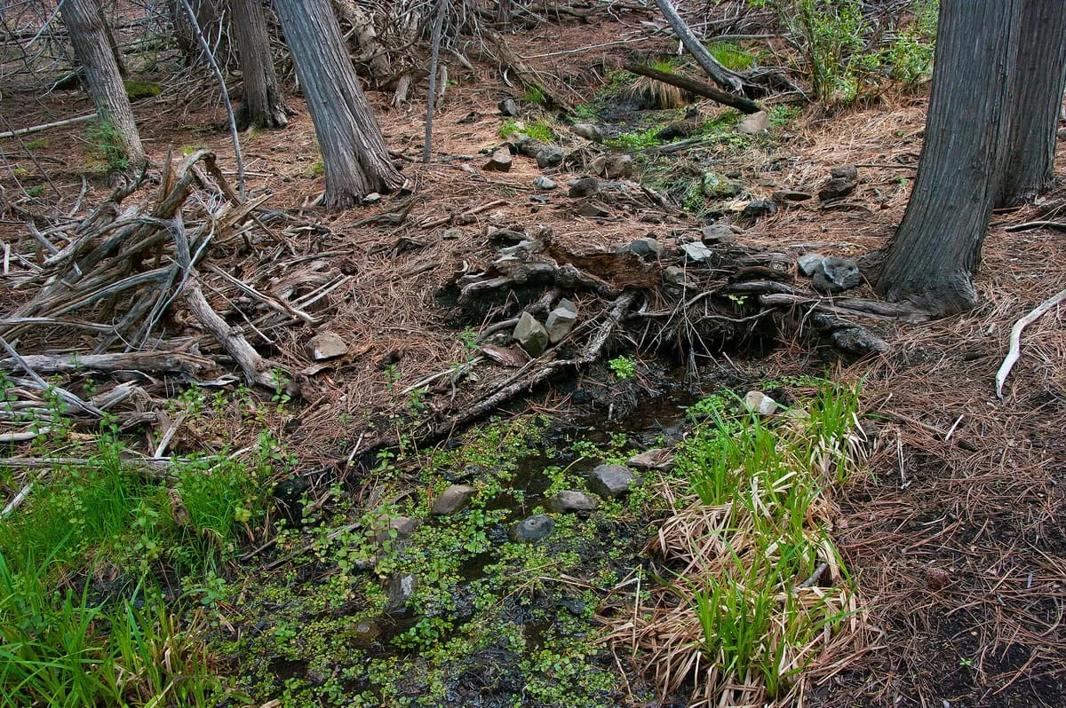
Arizona Trail is a natural landmark near Tusayan, in Coconino County. It is one of the natural landmarks in this database, and appears in the statewide ranking of Arizona attractions.
No official visitor count is published for Arizona Trail, so its score rests on public interest and tourism significance, and is capped below the level a measured attraction can reach. That is why the medium confidence above is not higher. The weighting is explained in full on the methodology page, and every axis is broken out under Facts and sources at the foot of this page.
Note on the data: No official visitor count is published for this attraction.
Record last verified 2026-08-12.
9.0 miles away
12 miles away
14 miles away
15 miles away
18 miles away
19 miles away