4.5 miles away
Flagstaff Nordic Center
A Flagstaff-area cross-country ski centre with over 50 km of groomed trails, open for hiking and mountain biking in summer.
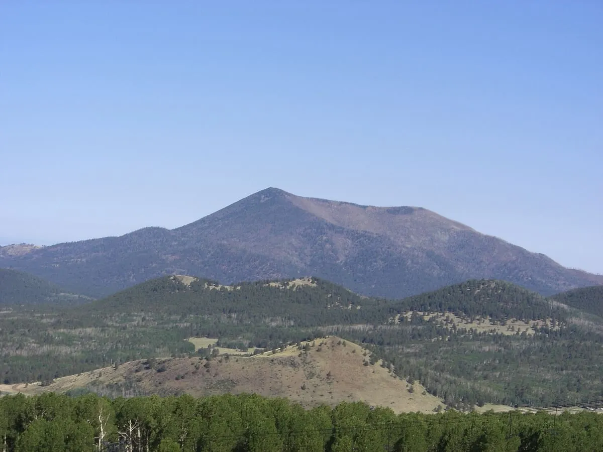
A 10,425-foot lava dome in the San Francisco volcanic field north of Flagstaff, carrying a fire lookout staffed since the early 1900s.
Kendrick Peak, also called Kendrick Mountain, is a summit in the San Francisco volcanic field north of Flagstaff, Arizona, on the Coconino Plateau in Coconino County. It rises to 10,425 feet, or 3,178 metres, making it the eleventh or twelfth tallest summit in the state depending on the source consulted. The United States Geological Survey describes it as a lava dome between 2.7 and 1.4 million years old, formed principally of dacite and rhyolite flows later partly buried by andesite. The peak lies within the Kendrick Mountain Wilderness, administered jointly by the Kaibab and Coconino National Forests, and a fire lookout has stood on the summit since the early 1900s, staffed by the Forest Service on weekdays and by volunteers at weekends. Three maintained trails reach the top: the Kendrick Mountain Trail, the Pumpkin Trail and the Bull Basin Trail. A large wildfire burned the peak and the surrounding wilderness in 2000, and the Boundary Fire began on its north-eastern side in 2017 after a lightning strike.
Kendrick Peak is a natural landmark near Flagstaff, in Coconino County. It is one of the natural landmarks in this database, and appears in the statewide ranking of Arizona attractions.
No official visitor count is published for Kendrick Peak, so its score rests on public interest and tourism significance, and is capped below the level a measured attraction can reach. That is why the medium confidence above is not higher. The weighting is explained in full on the methodology page, and every axis is broken out under Facts and sources at the foot of this page.
Note on the data: No official visitor count is published for this attraction.
Record last verified 2026-08-12.
4.5 miles away
4.6 miles away
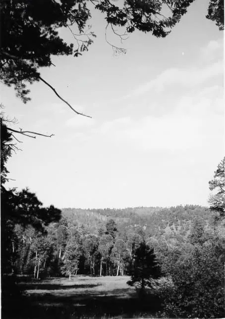
9.5 miles away
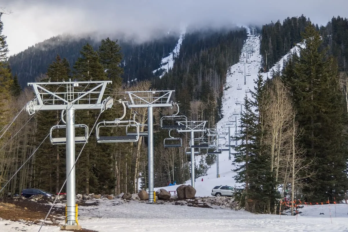
9.5 miles away
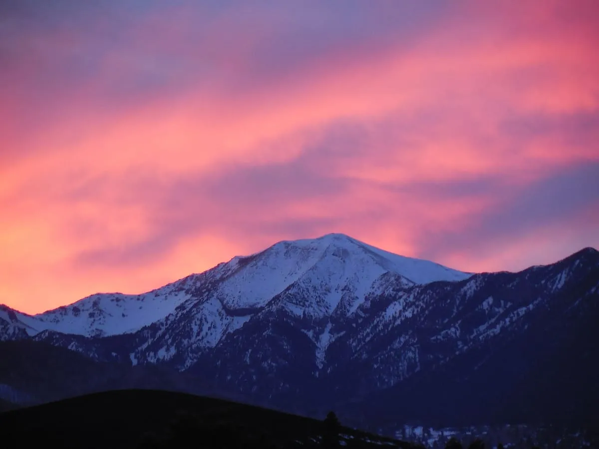
11 miles away
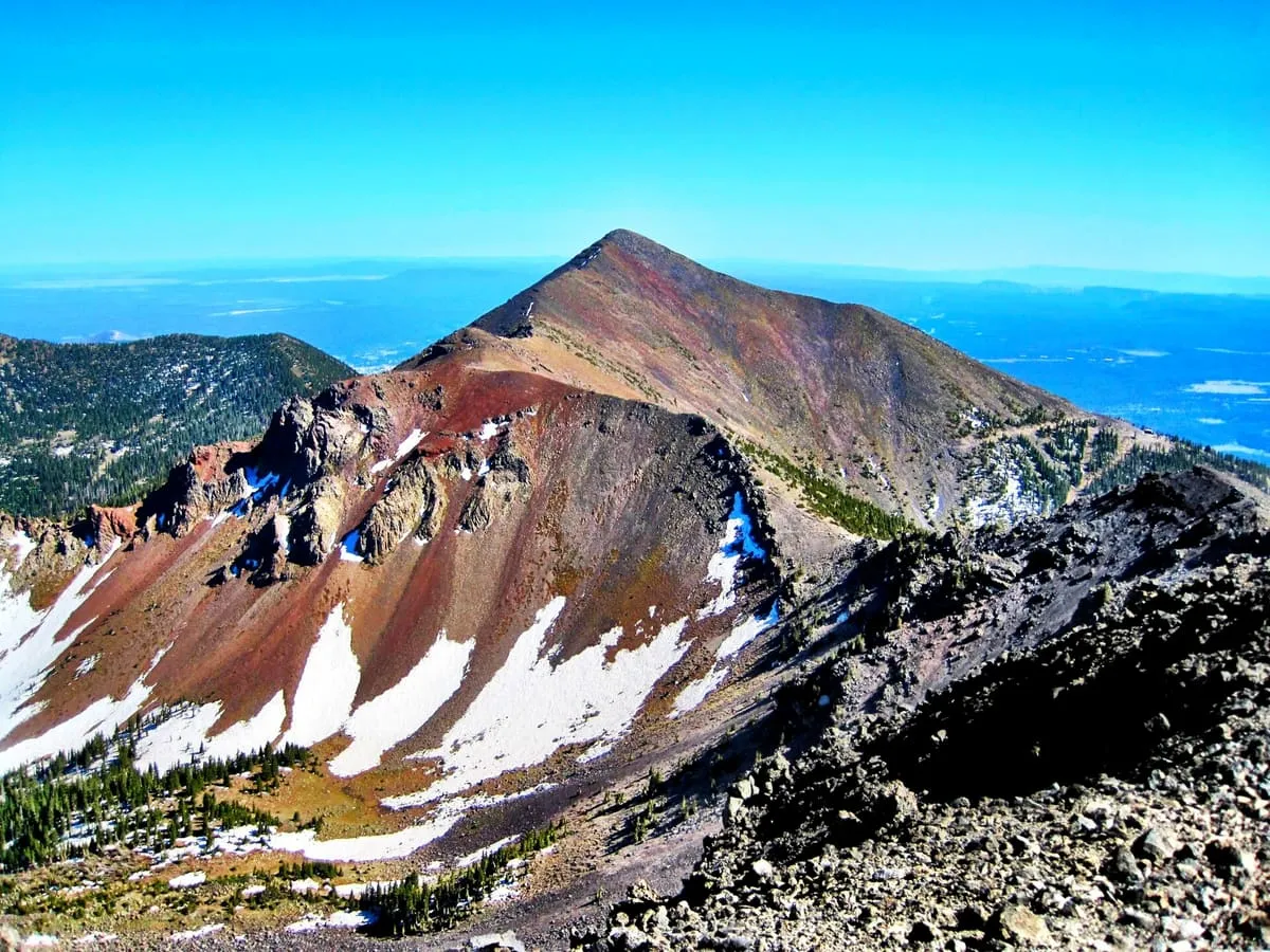
11 miles away