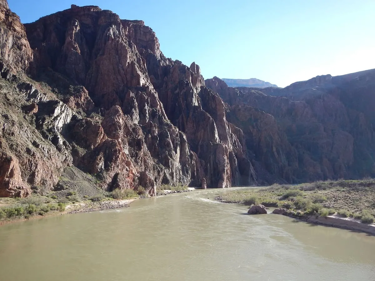
6.6 miles away
South Kaibab Trail
A Grand Canyon trail from Yaki Point following a ridgeline to the Colorado River, steeper and less shaded than the Bright Angel.
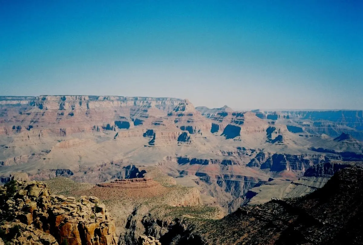
An 1893 miners' trail on the Grand Canyon's South Rim, descending from Grandview Point to Horseshoe Mesa past surviving mining relics.
The Grandview Trail is a hiking trail on the South Rim of Grand Canyon National Park, Arizona, built in 1893 by miners and noted for its cobblestone paving and cribbing. Steep and only marginally maintained, it descends from Grandview Point to Horseshoe Mesa and Cottonwood Creek without reaching the Colorado River, passing mining relics including ore crushers and cabins still standing on Horseshoe Mesa.
Grandview Trail is a natural landmark near Grand Canyon, in Coconino County. It is one of the natural landmarks in this database, and appears in the statewide ranking of Arizona attractions.
No official visitor count is published for Grandview Trail, so its score rests on public interest and tourism significance, and is capped below the level a measured attraction can reach. That is why the medium confidence above is not higher. The weighting is explained in full on the methodology page, and every axis is broken out under Facts and sources at the foot of this page.
Note on the data: No official visitor count is published for this attraction.
Record last verified 2026-08-12.
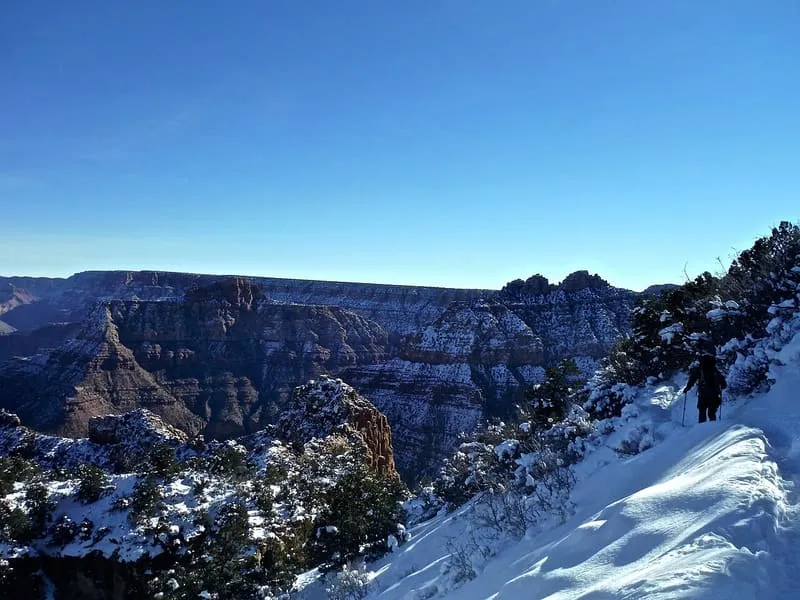
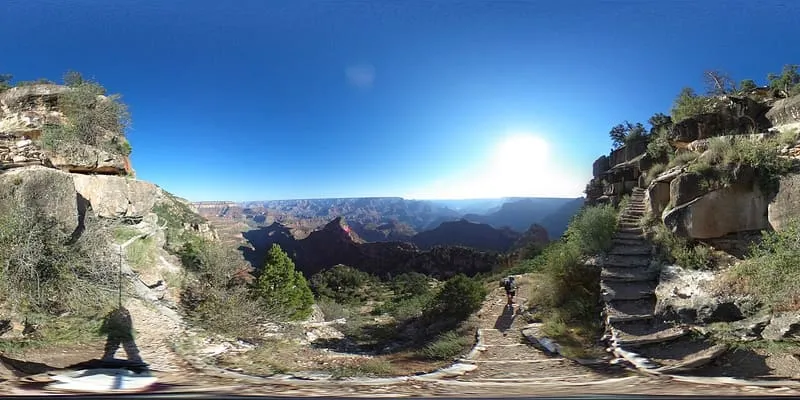
6.6 miles away
6.8 miles away
6.9 miles away
7.0 miles away
8.0 miles away
8.1 miles away