16 miles away
Salt River Canyon Wilderness
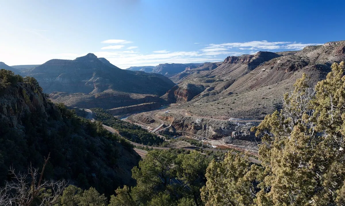
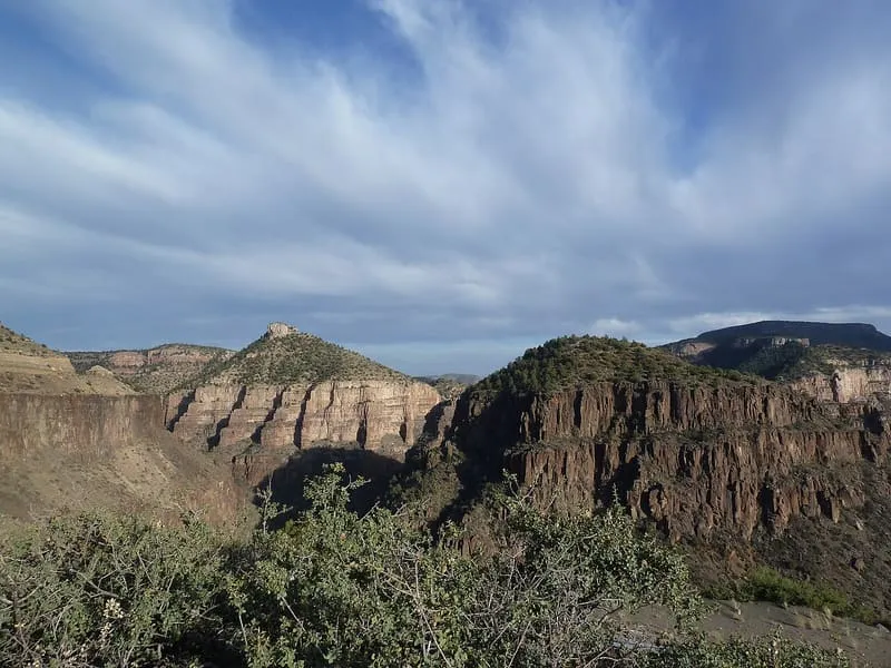
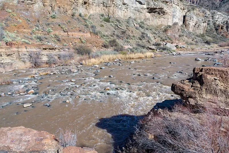
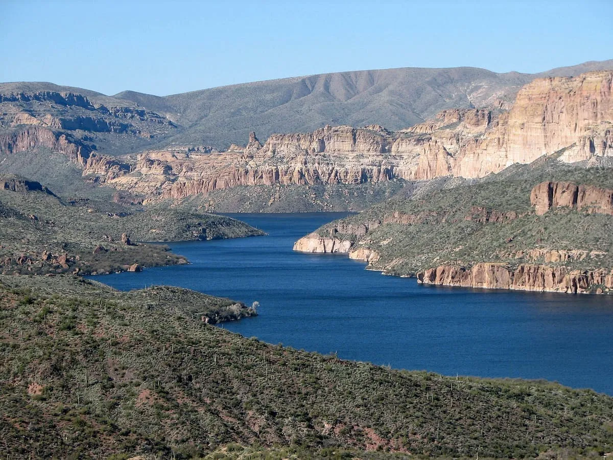
A deep river canyon, managed by the Tonto National Forest. There are no maintained trails, although the wilderness can be visited anytime. There are 27 sets of rapids and many side creeks, and white-water rafting and kayaking is popular during the spring. From March 1 - May 15 river-running permits are required; group size is limited to 15 people.
Facts and sources
Place
- Category
- Canyon
- Destination
- Mogollon Rim
- County
- Gila County
- State
- Arizona
Visitation
- Annual visits
- Not published
Ranking
- Overall score
- 26.4 / 100
- Visitation score
- No published count
- Popularity score
- No data
- Significance score
- 60.0
- Confidence
- low
Visiting
- Official website
- fs.usda.gov(opens in a new tab)
- Coordinates
- 33.6544, -110.8150
- Last verified
- 2026-08-12
Where it is
Salt River Canyon Wilderness is a canyon near Mogollon Rim, in Gila County. It is one of the canyons in this database, and appears in the statewide ranking of Arizona attractions.
How this ranking was reached
This place scores 26.4 out of 100, at low confidence. No official visitor count is published for it, so the score rests on public interest and tourism significance, and is capped below the level a measured attraction can reach. The weighting is explained in full on the methodology page.
Note on the data: No official visitor count is published for this attraction.
Sources
- Description: Wikivoyage(opens in a new tab), used under CC BY-SA 4.0(opens in a new tab)
- Coordinates and designations: Wikivoyage(opens in a new tab)
- County: U.S. Census geography via FCC Area API, resolved from coordinates
- Official site: http://www.fs.usda.gov/detail/tonto/specialplaces/?cid=stelprdb5163405(opens in a new tab)
Record last verified 2026-08-12.
Nearby attractions
- Established in 1908, Copper Hill once had 500 residents working in nearby mines, but was abandoned during the Depression in 1933. There are many foundations remaining.

17 miles away
Gila County Historical Society
A small museum devoted to the history of Globe and the surrounding region. A small bookshop is also onsite.19 miles away
Besh-Ba-Gowah Archeological Park
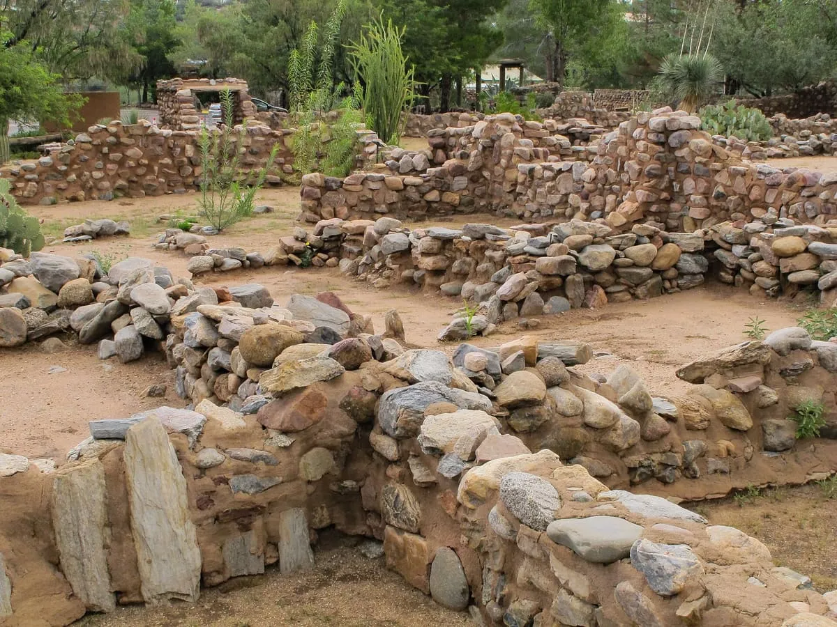
A reconstructed 14th century Salado pueblo, with a small museum onsite.
19 miles away
Tonto National Forest
The surrounding Tonto National Forest offers a range of opportunities for hiking, mountain biking, and rock climbing. Maps, books, and trail information are available from the Globe Ranger Station.
19 miles away
Theodore Roosevelt Lake
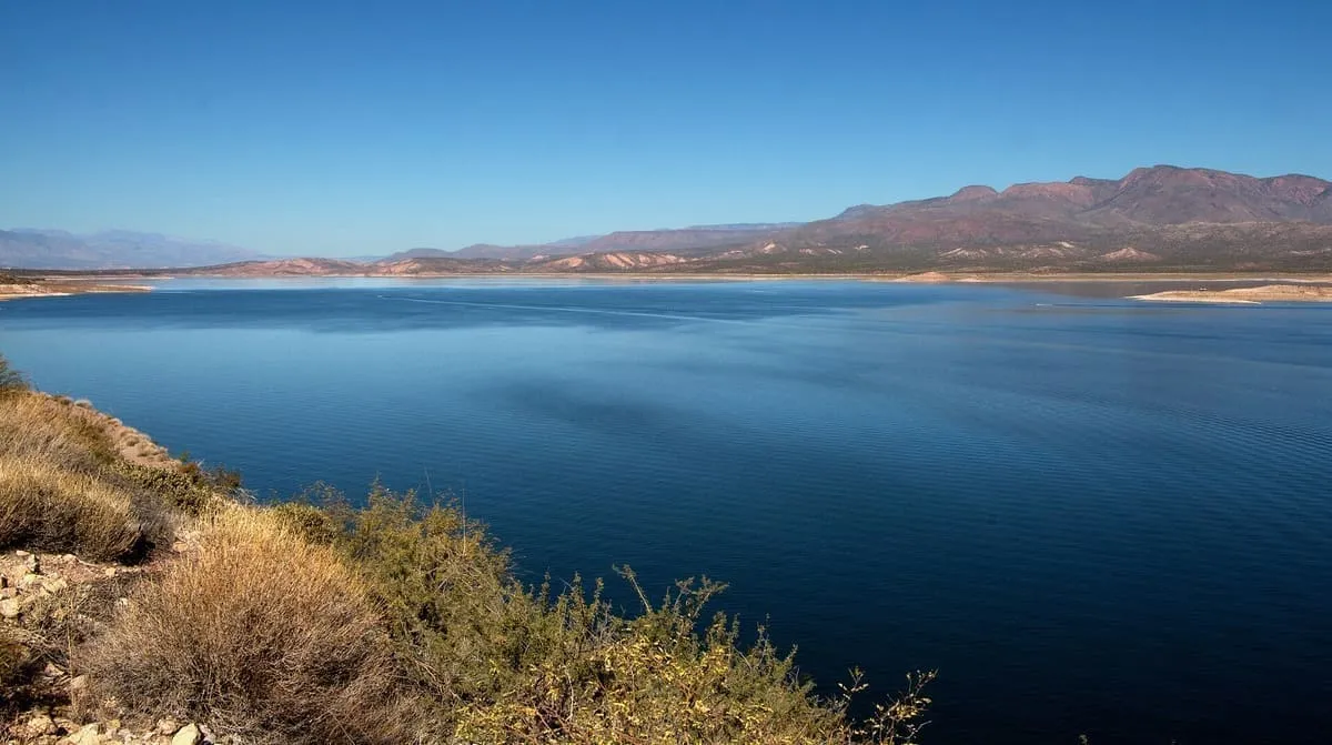
Theodore Roosevelt Lake (usually called Roosevelt Lake, sometimes Lake Roosevelt) is a large reservoir formed by Theodore Roosevelt Dam on the Salt River in Arizona as part of the Salt River Project (SRP). Located roughly 80 miles (130 km) northeast of Phoenix in the Salt River Valley, Theodore Roosevelt is the largest lake or reservoir located entirely within the state of Arizona (Lake Mead and Lake Powell are larger but are both located partially within the bordering states of Nevada and Utah respectively).