Home Counties Gila County 16 attractions
1 Score 55.3 out of 100 55.3
Natural Landmark
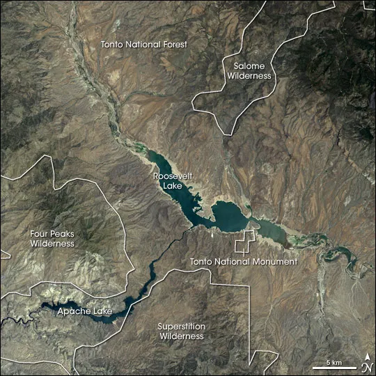
At 2,873,200 acres the largest national forest in Arizona, running from Sonoran Desert up to the pine forests of the Mogollon Rim.
2 Score 53.1 out of 100 53.1
Natural Landmark
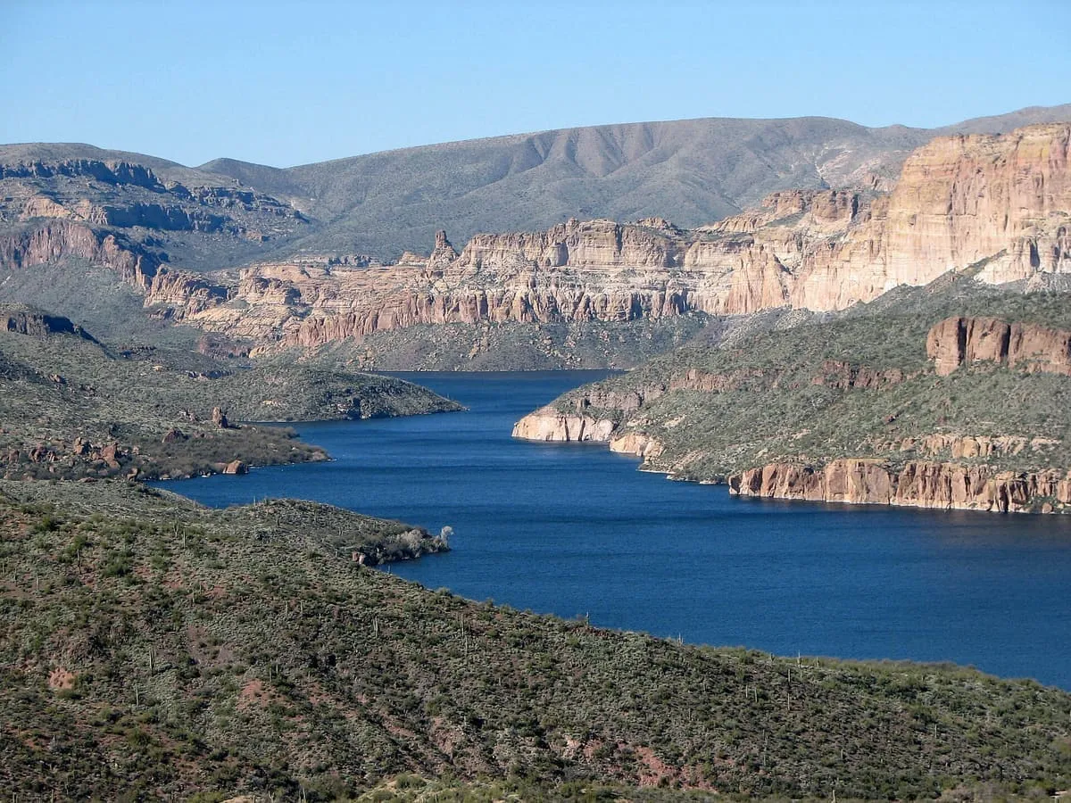
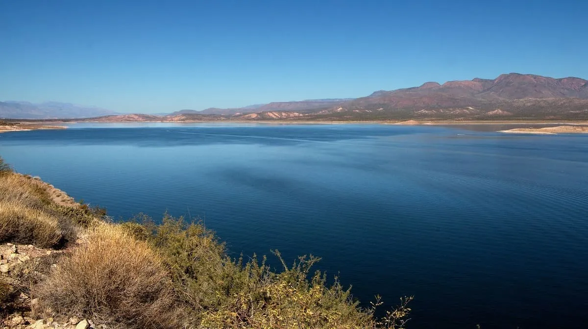
The largest reservoir lying entirely within Arizona, formed on the Salt River by a dam Theodore Roosevelt dedicated in 1911.
3 Score 51.0 out of 100 51.0
Natural Landmark
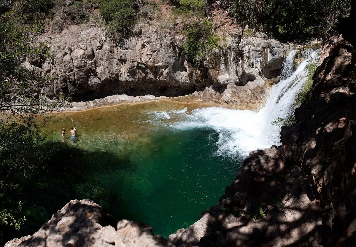
A perennial travertine-forming stream below the Mogollon Rim, one of only two Arizona streams in the National Wild and Scenic Rivers System.
4 Score 50.5 out of 100 50.5
Historic Site
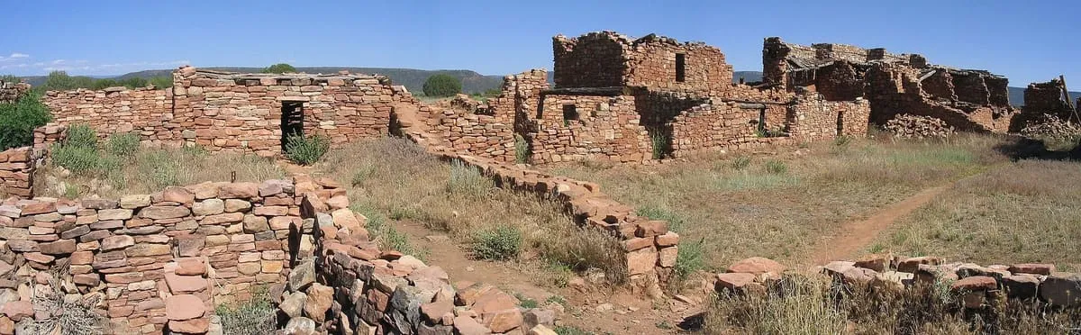
A 600-room Mogollon great house on the Fort Apache Indian Reservation, a National Historic Landmark administered by the White Mountain Apache Tribe.
5 Score 44.0 out of 100 44.0
State Park
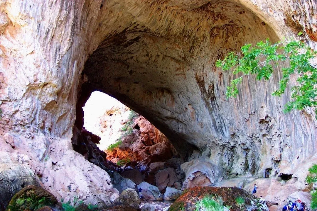
Believed to be the largest natural travertine bridge in the world, standing 183 feet over a 400-foot tunnel.
6 Score 43.8 out of 100 43.8
Natural Landmark
The drainage basin of Tonto Creek in central Arizona, running south-west of the Mogollon Rim to Theodore Roosevelt Lake.
7 Score 40.4 out of 100 40.4
Historic Site
An uninhabited Gila County mining community named for the claim staked on Christmas Day 1902, once a magnet for holiday mail.
8 Score 40.3 out of 100 40.3
Historic Site
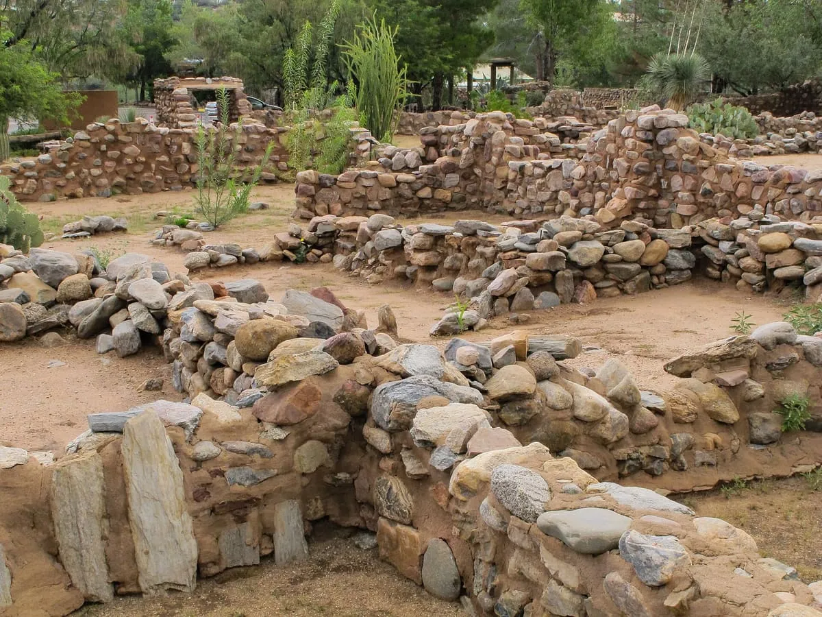
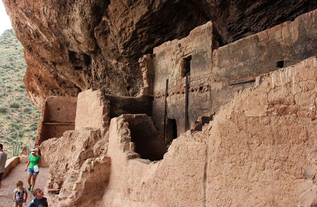
A 200-room Salado masonry pueblo above Pinal Creek near Globe, occupied AD 1225-1400 and now a city archaeological park and museum.
9 Score 39.8 out of 100 39.8
Canyon
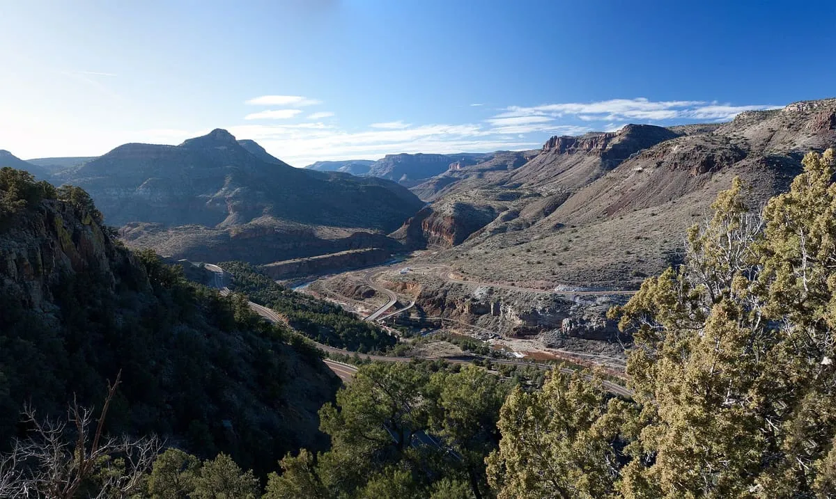
A wilderness area of 32,115 acres in the Tonto National Forest, taking in a deep river canyon with 27 sets of rapids.
10 Score 39.3 out of 100 39.3
National Monument
A national monument in the Superstition Mountains of Gila County, at the edge of the Sonoran Desert ecoregion.
11 Score 33.3 out of 100 33.3
Museum
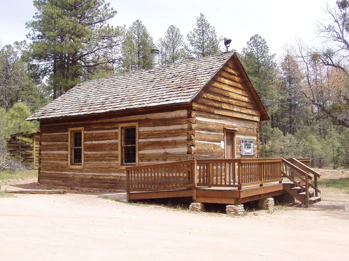
An 1885 log schoolhouse in Strawberry, often called Arizona's oldest, though the 1879 Arivaca Schoolhouse predates it.
12 Score 25.5 out of 100 25.5
Historic Site
A Gila County ghost town founded in 1908 with 500 residents working nearby mines, abandoned in 1933 during the Depression.
13 Score 25.5 out of 100 25.5
Natural Landmark
A Gila County mountain pass marked by a historical marker noting a U.S. Army march through it to California in 1846.
14 Score 24.2 out of 100 24.2
Museum
A small Globe, Arizona museum on local and regional history, run by the Gila County Historical Society, with an onsite bookshop.
15 Score 24.2 out of 100 24.2
Museum
Pine-Strawberry Museum, in Gila County, Arizona, displays prehistoric and pioneer artefacts, period antiques, and room displays.
16 Score 24.2 out of 100 24.2
Museum
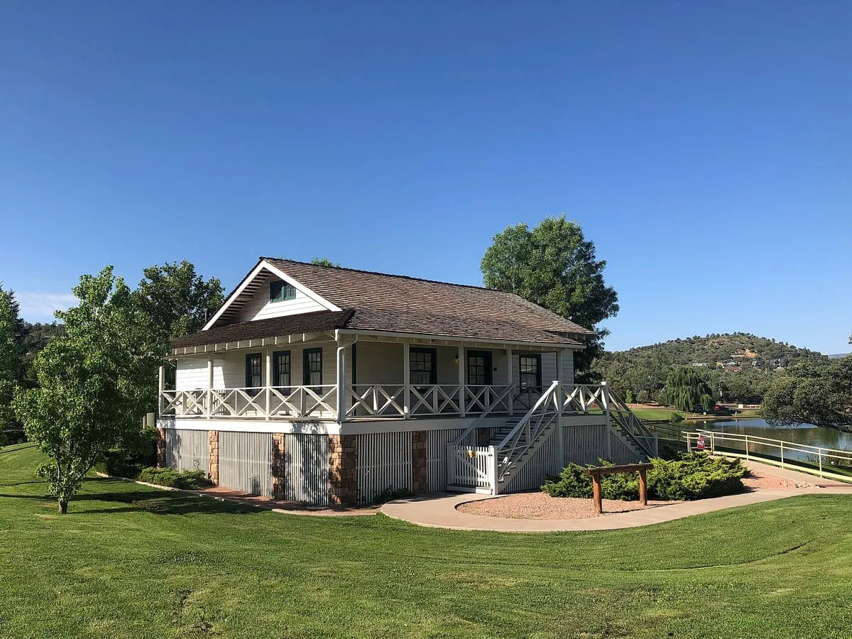
Rim Country Museum and Zane Grey Cabin, in Payson, Arizona, covers the history of northern Gila County and the Mogollon Rim.
Destinations in this county Globe · Mogollon Rim · Payson · Pine-Strawberry · Roosevelt
County is resolved from each attraction's coordinates against U.S. Census geography rather than entered by hand, so a place near a county line is filed where it actually sits.