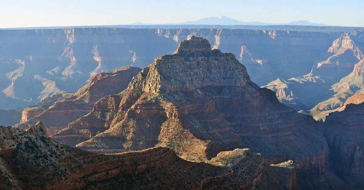
2.1 miles away
Vishnu Temple
A summit within the Grand Canyon, in Coconino County, Arizona, standing at an elevation of 7,533 feet.
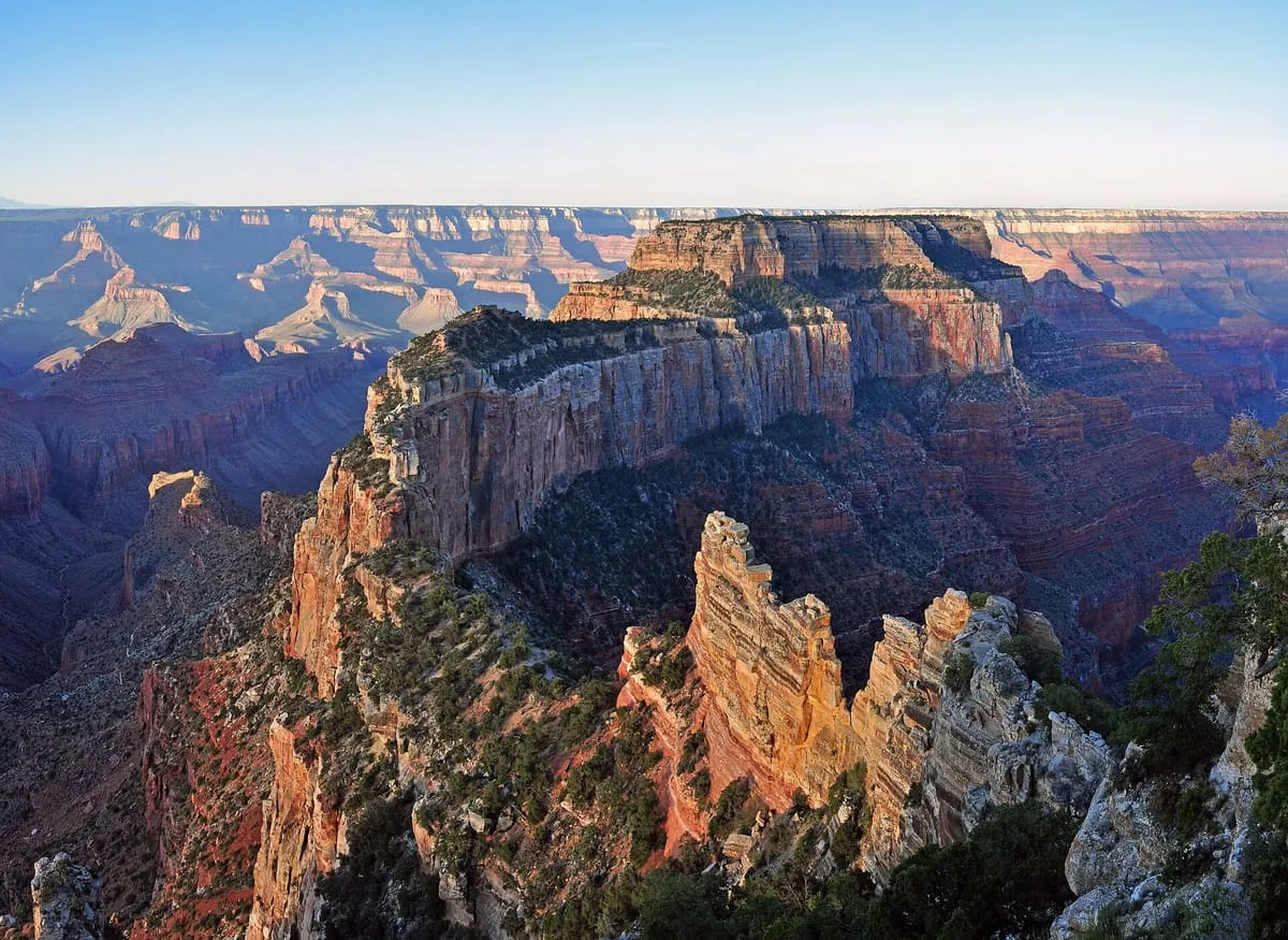
A 7,721-foot Grand Canyon summit near Cape Royal on the North Rim, rising 5,200 feet above the Colorado and named for the god Wotan.
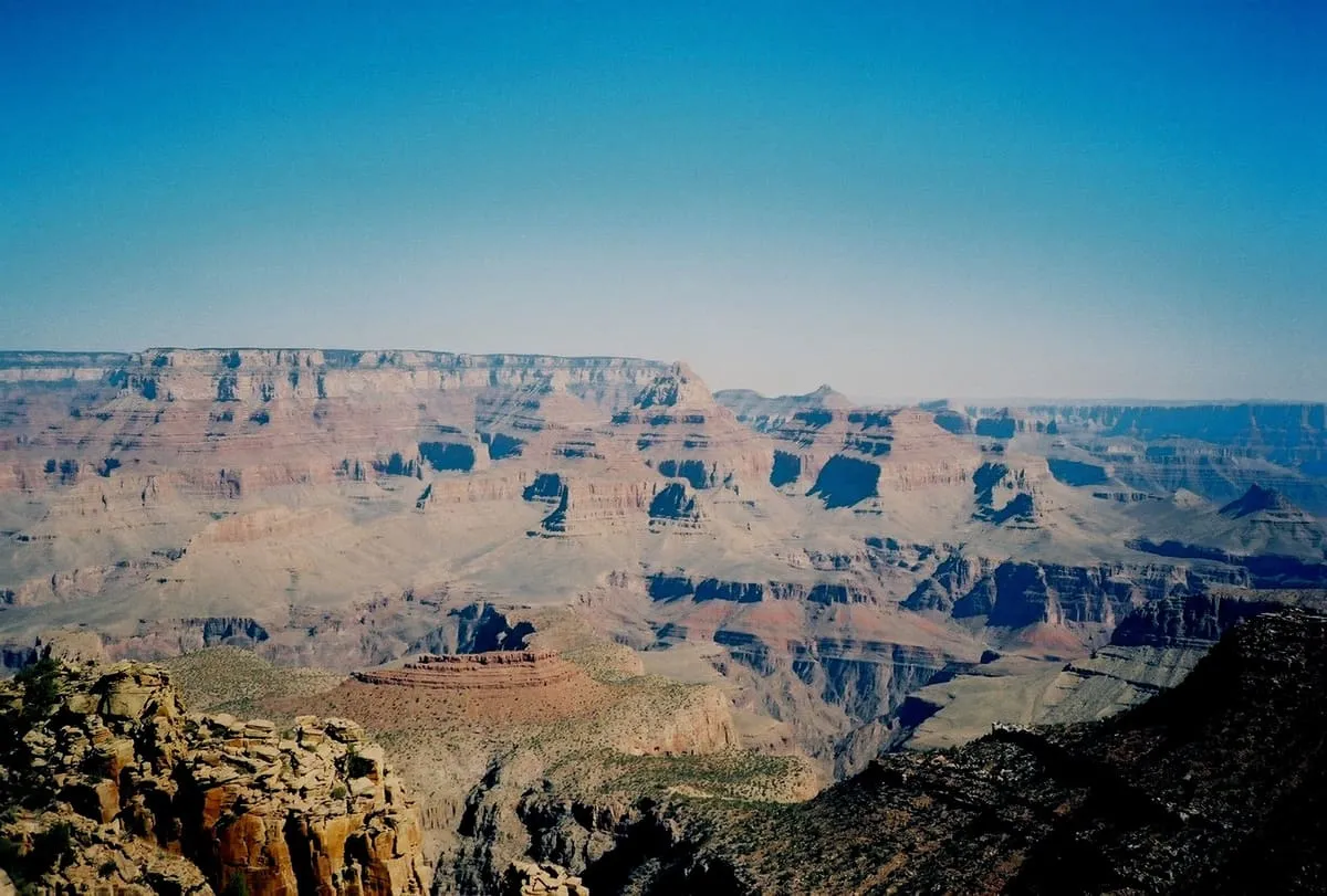
Wotans Throne is a 7,721-foot summit in the Grand Canyon, in Coconino County, Arizona, standing a mile south-west of the Cape Royal overlook on the North Rim and rising 5,200 feet above the Colorado River. Freya Castle lies 1.7 miles to its east-north-east, Vishnu Temple two miles to its east-south-east and Zoroaster Temple five miles to its west. The name honours Wotan, the supreme Germanic deity, and was applied by the geologist François E. Matthes, following Clarence Dutton's practice of naming features in the Grand Canyon after mythological deities; the United States Board on Geographic Names adopted it officially in 1906. Under the Köppen classification the summit lies in a cold semi-arid climate zone.
Wotans Throne is a natural landmark near Grand Canyon, in Coconino County. It is one of the natural landmarks in this database, and appears in the statewide ranking of Arizona attractions.
No official visitor count is published for Wotans Throne, so its score rests on public interest and tourism significance, and is capped below the level a measured attraction can reach. That is why the medium confidence above is not higher. The weighting is explained in full on the methodology page, and every axis is broken out under Facts and sources at the foot of this page.
Note on the data: No official visitor count is published for this attraction.
Record last verified 2026-08-12.
2.1 miles away
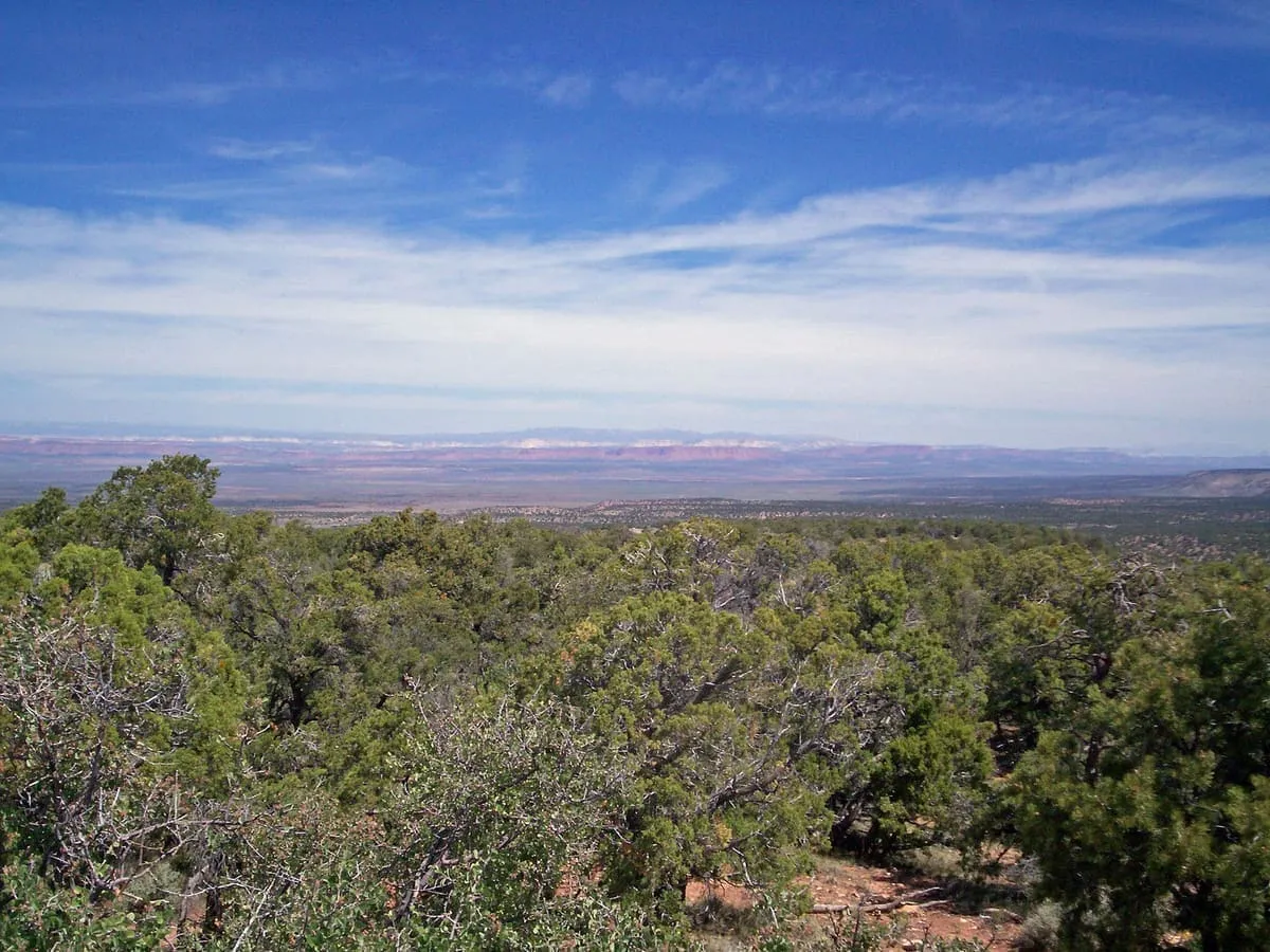
2.8 miles away
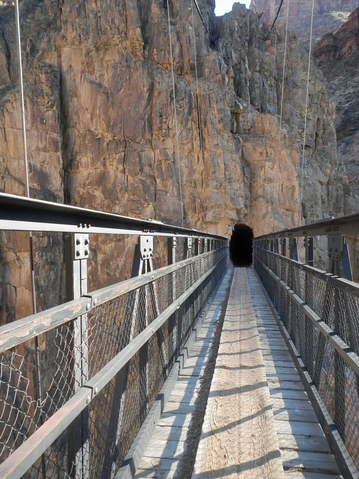
6.6 miles away
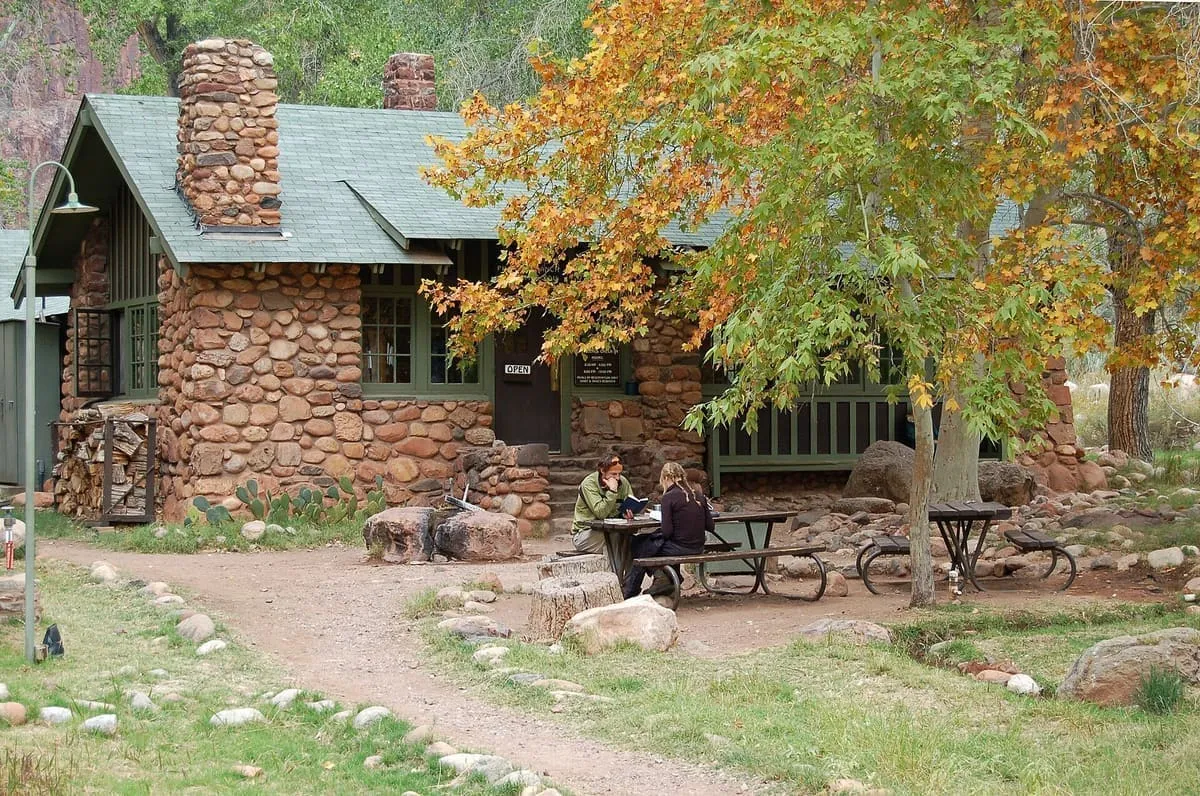
6.9 miles away
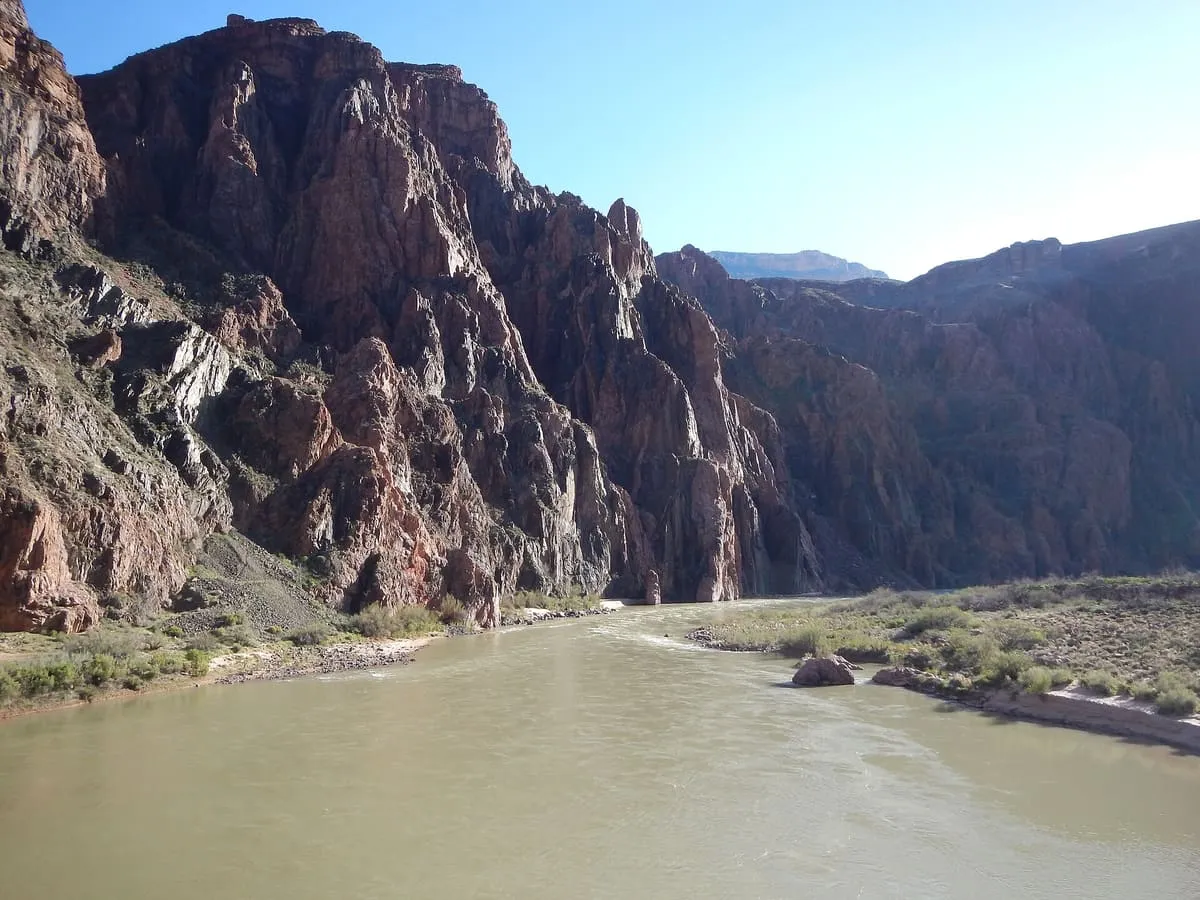
7.0 miles away
7.0 miles away