2.1 miles away
Vishnu Temple
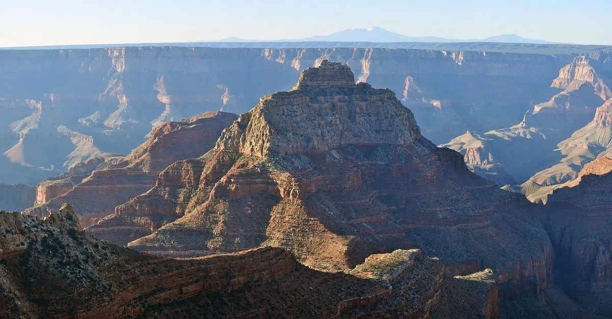
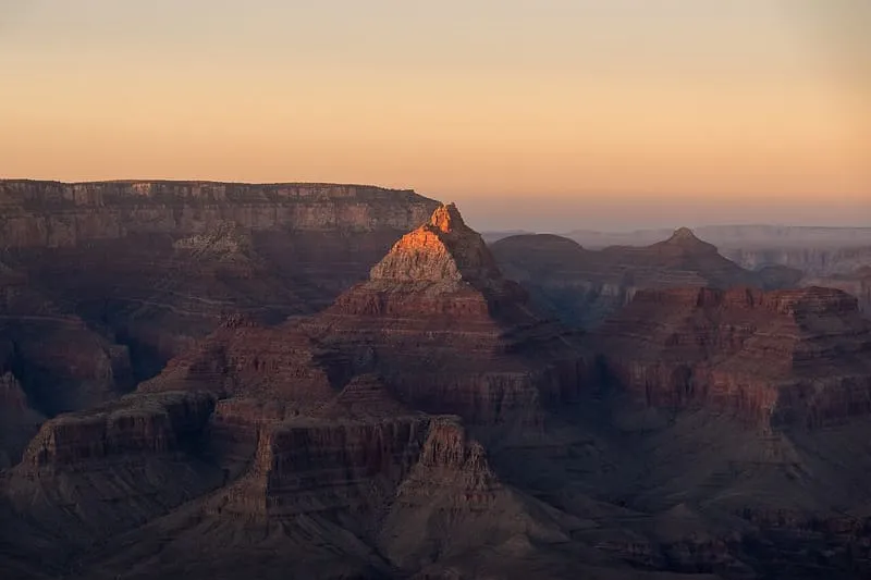
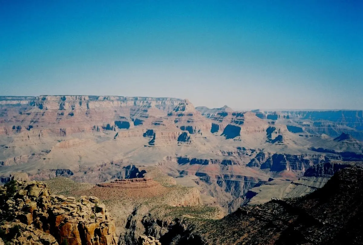
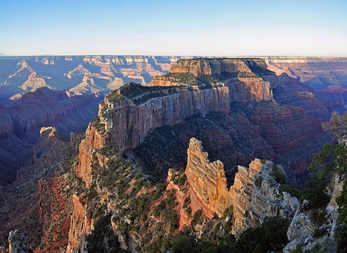
Vishnu Temple is a 7,533-foot-elevation (2,296-meter) summit located in the Grand Canyon, in Coconino County of Arizona, US.

Facts and sources
Place
- Category
- Natural Landmark
- Destination
- Grand Canyon
- County
- Coconino County
- State
- Arizona
Visitation
- Annual visits
- Not published
Ranking
- Overall score
- 52.3 / 100
- Visitation score
- No published count
- Popularity score
- 45.4
- Significance score
- 58.0
- Confidence
- medium
Visiting
- Coordinates
- 36.0891, -111.9360
- Last verified
- 2026-08-12
Where it is
Vishnu Temple is a natural landmark near Grand Canyon, in Coconino County. It is one of the natural landmarks in this database, and appears in the statewide ranking of Arizona attractions.
How this ranking was reached
This place scores 52.3 out of 100, at medium confidence. No official visitor count is published for it, so the score rests on public interest and tourism significance, and is capped below the level a measured attraction can reach. The weighting is explained in full on the methodology page.
Note on the data: No official visitor count is published for this attraction.
Sources
- Description: Wikipedia(opens in a new tab), used under CC BY-SA 4.0(opens in a new tab)
- Public interest: Wikimedia pageviews (en.wikipedia, human traffic), 2024
- Coordinates and designations: Wikidata(opens in a new tab)
- County: U.S. Census geography via FCC Area API, resolved from coordinates
Record last verified 2026-08-12.
Nearby attractions
- Wotans Throne is a 7,721-foot-elevation (2,353-meter) summit located in the Grand Canyon, in Coconino County, Arizona, US. It is situated one mile immediately southwest of the Cape Royal overlook on the canyon's North Rim, 1.7 miles west-southwest of Freya Castle, two miles west-northwest of Vishnu Temple, and five miles east of Zoroaster Temple. It rises 5,200 feet (1,600 meters) above the Colorado River.

4.8 miles away
Kaibab Plateau
The Kaibab Plateau is a plateau almost entirely in Coconino County, Arizona (but extending slightly north into Kane County, Utah) in the Southwestern United States. The high plain is also known as the Buckskin Mountain, Buckskin Plateau, and Kaibab Mountain.6.9 miles away
Grandview Trail
This is another steep, marginally maintained, rough trail that descends from the South Rim to Horseshoe Mesa and Cottonwood Creek; it does not go to the Colorado River. The trailhead is at Grandview Point and leads down to Horseshoe Mesa where several mining relics including ore crushers and cabins are still present.
6.9 miles away
Desert View Watchtower
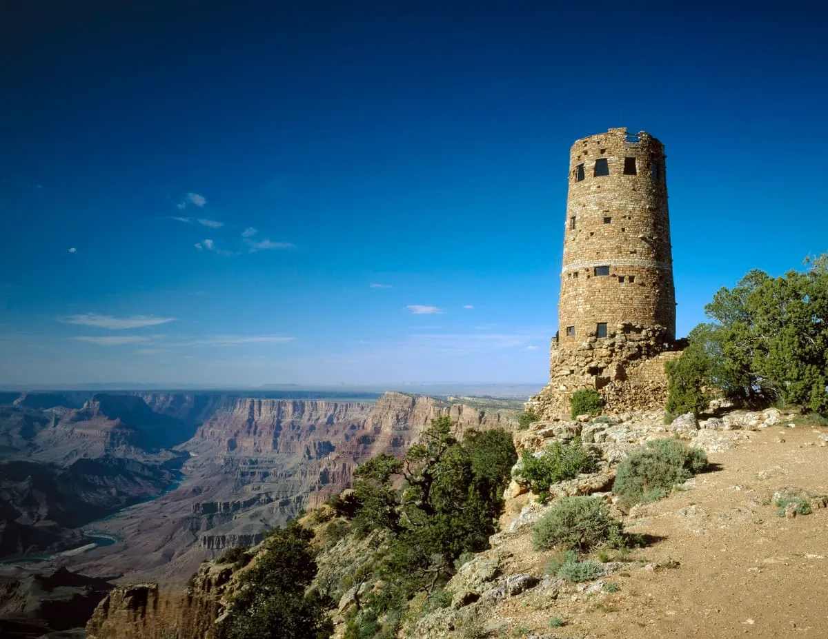
Desert View Watchtower, also known as the Indian Watchtower at Desert View, is a 70-foot (21 m)-high stone building located on the South Rim of the Grand Canyon within Grand Canyon National Park in Arizona, United States. The tower is located at Desert View, more than 20 miles (32 km) to the east of the main developed area at Grand Canyon Village, toward the east entrance to the park.
8.6 miles away
South Kaibab Trail
Slightly steeper than the Bright Angel trail, this trail starts from Yaki Point and follows a ridgeline into the canyon. Because the trail follows a ridge the views are spectacular and wide-open, but the amazing scenery comes at a cost: there is almost no shade to protect hikers from the sun, and the lack of natural water sources means that there is less plant and animal life.
8.6 miles away
Kaibab Trail Suspension Bridge
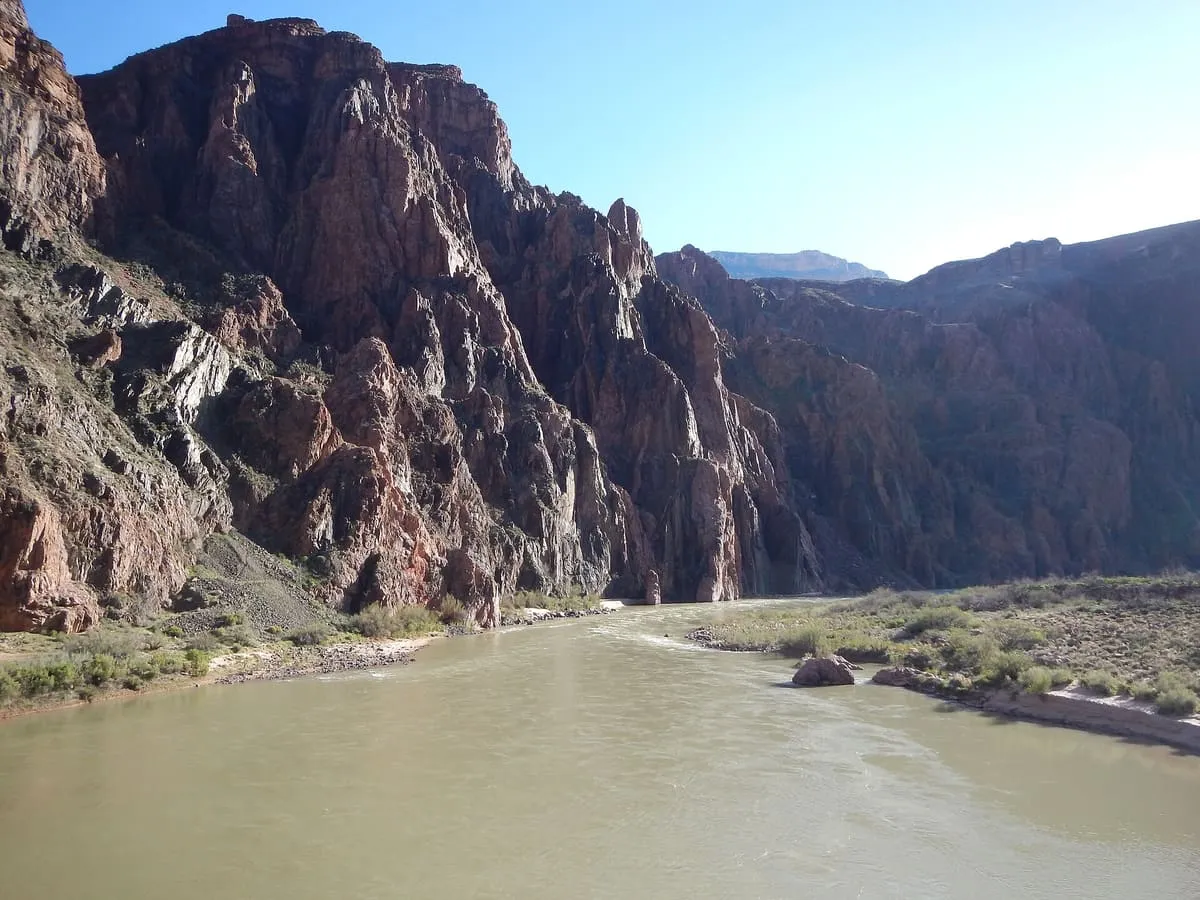
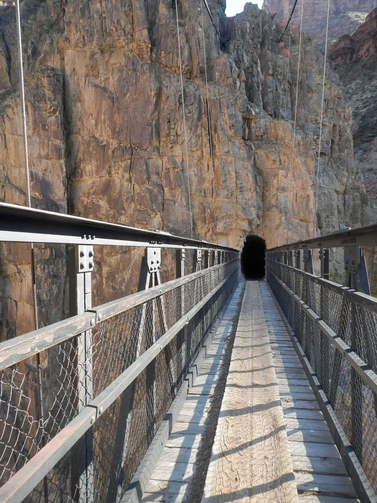
The Black Suspension Bridge (also known as the Kaibab Trail Suspension Bridge) spans the Colorado River in the inner canyon of Grand Canyon National Park. The span length is 440 feet (130 m). The bridge is part of the South Kaibab Trail and is the river crossing used by mules going to Phantom Ranch.