This place scores 24.2 out of 100, at low confidence. No official visitor count is published for it, so the score rests on public interest and tourism significance, and is capped below the level a measured attraction can reach. The weighting is explained in full on the methodology page.
Note on the data: No official visitor count is published for this attraction.
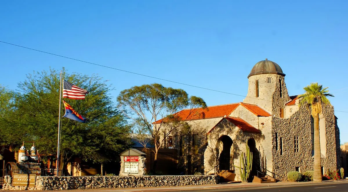
Downtown Casa Grande has a number of buildings listed on the National Register of Historic Places. A helpful map of the most interesting buildings can be downloaded here.
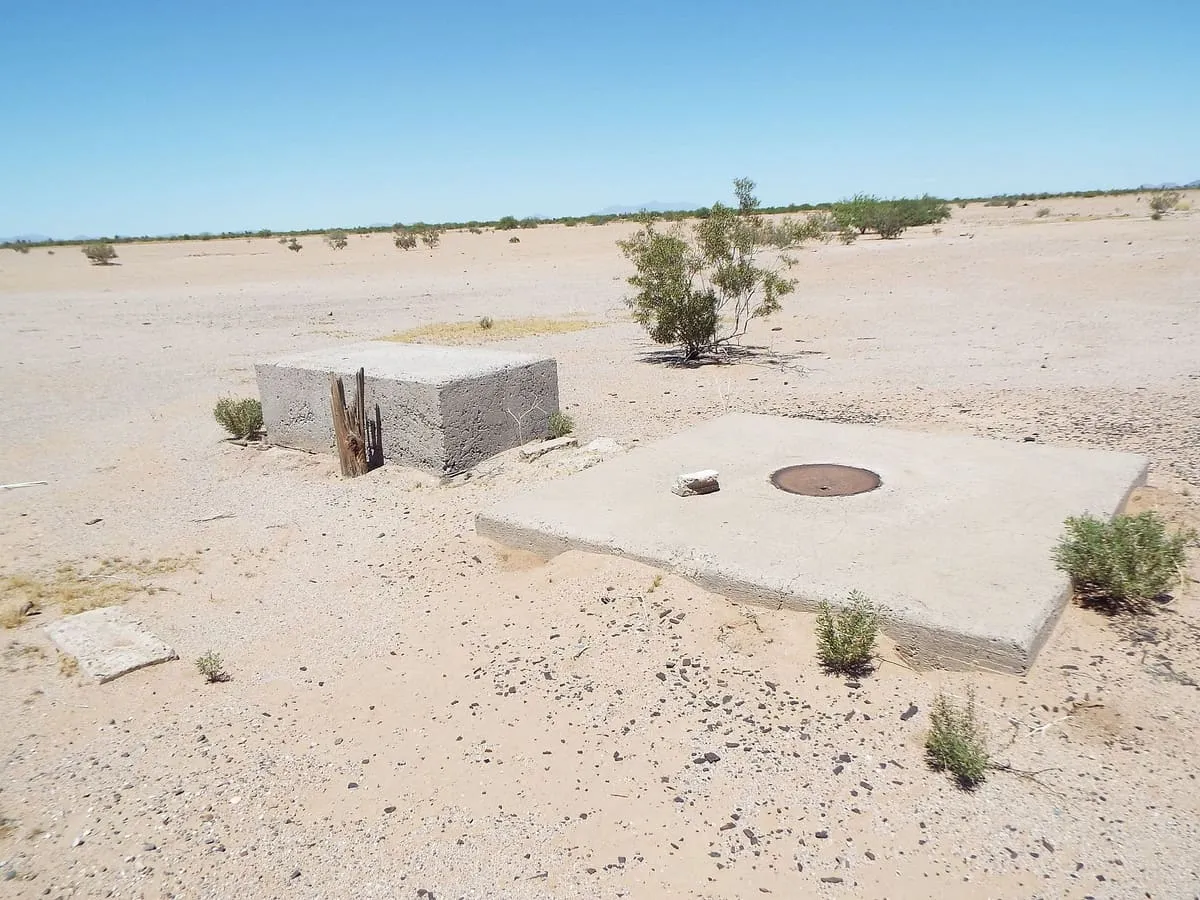
The Casa Grande Photogrammetric Test Range is a test range established in the mid-1960s to test the dynamic performance of aerial survey cameras. The range consisted of 272 concrete calibration markers embedded into the Earth's surface in and around Casa Grande, Arizona, United States. The markers are commonly (and erroneously) believed to have been used to aid camera calibration for the US Central Intelligence Agency's Corona spy satellite program; in fact, they were used as references for aerial surveys through photogrammetry.
The Gila River War Relocation Center was an American concentration camp in Arizona, one of several built by the War Relocation Authority (WRA) during the Second World War for the incarceration of Japanese Americans from the West Coast of the United States. It was located within the Gila River Indian Reservation (over their objections) near the town of Sacaton, about 30 mi (48.3 km) southeast of Phoenix. With a peak population of 13,348, it became the fourth-largest city in the state, operating from May 1942 to November 16, 1945.
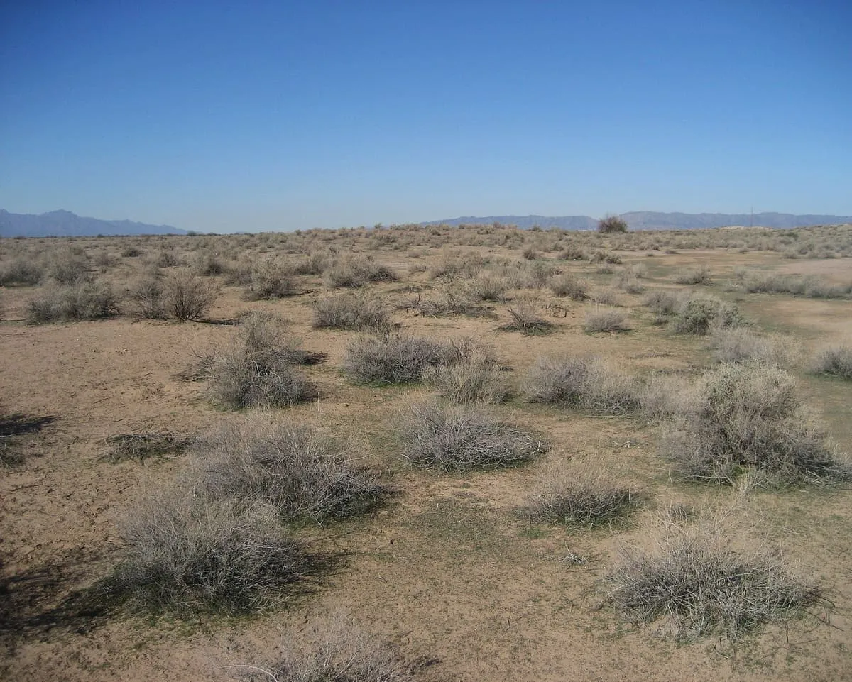
The Hohokam Pima National Monument is an ancient Hohokam village within the Gila River Indian Community, near present-day Sacaton, Arizona. The monument features the archaeological site Snaketown 30 miles (48 km) southeast of Phoenix, Arizona, designated a National Historic Landmark in 1964. The area was further protected by declaring it a national monument in 1972, and was listed on the National Register of Historic Places in 1974.