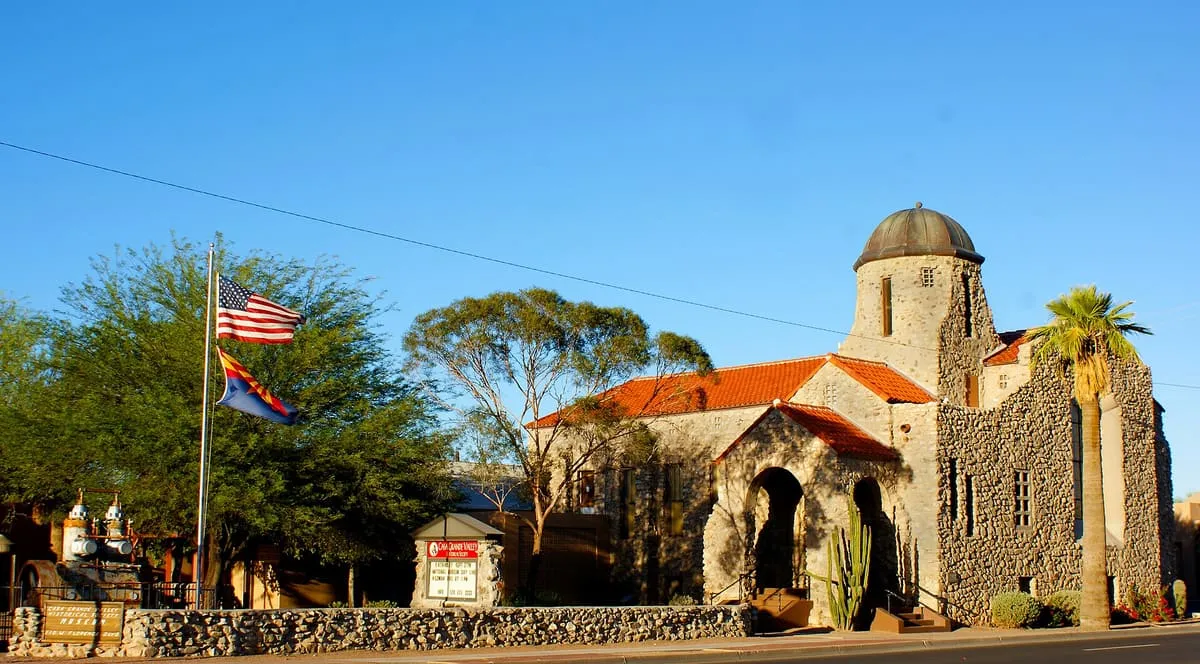
Casa Grande Main Street District
Downtown Casa Grande's historic district, home to a number of buildings on the National Register of Historic Places.
- Rank in Arizona
- #696of 727 ranked
- Overall score
- Score 19.8 out of 100low confidence
- Category
- Landmark
The Casa Grande Main Street District is a downtown historic district in Casa Grande, Pinal County, Arizona, with a number of buildings listed on the National Register of Historic Places.
Where it is
Casa Grande Main Street District is a landmark near Casa Grande, in Pinal County. It is one of the landmarks in this database, and appears in the statewide ranking of Arizona attractions.
How this ranking was reached
No official visitor count is published for Casa Grande Main Street District, so its score rests on public interest and tourism significance, and is capped below the level a measured attraction can reach. That is why the low confidence above is not higher. The weighting is explained in full on the methodology page, and every axis is broken out under Facts and sources at the foot of this page.
Note on the data: No official visitor count is published for this attraction.
Sources
- Coordinates and designations: Wikivoyage(opens in a new tab)
- County: U.S. Census geography via FCC Area API, resolved from coordinates
- Official site: http://www.cgmainstreet.org/(opens in a new tab)
Record last verified 2026-08-12.
Nearby attractions
7.0 miles away
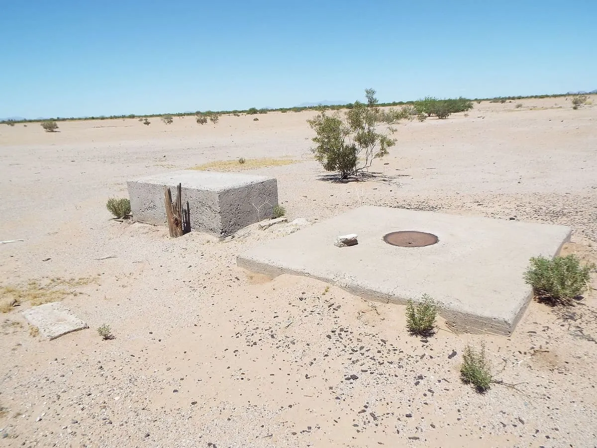
Casa Grande Photogrammetric Test Range
272 concrete survey markers on a 16-mile grid around Casa Grande, maintained from 1959 to 1972 and commonly but wrongly linked to the Corona satellites.15 miles away
Pinal Geology & Mineral Museum
Pinal Geology & Mineral Museum, in Coolidge, Pinal County, Arizona, displays minerals and fossilised dinosaur bones.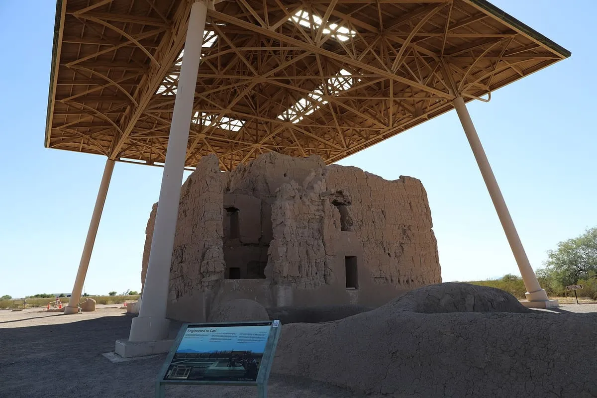
15 miles away
Casa Grande Ruins National Monument
A four-storey Hohokam earthen building, and the first archaeological site in the US to be federally protected.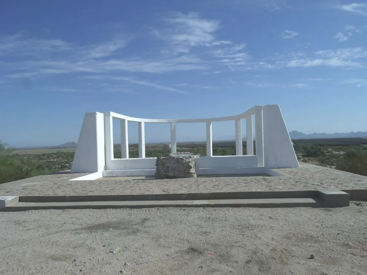
16 miles away
Gila River War Relocation Center
A War Relocation Authority camp near Sacaton that held 13,348 incarcerated Japanese Americans between 1942 and 1945.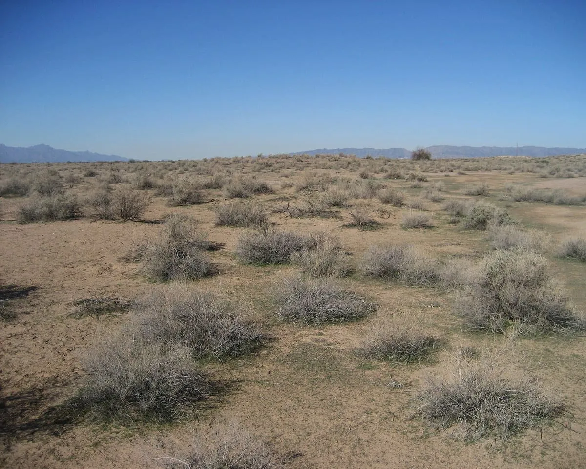
24 miles away
Hohokam Pima National Monument
A Hohokam village site near Sacaton, protected since 1972 and kept closed to the public by the Gila River Indian Community.
Facts and sources
Place
- Category
- Landmark
- Destination
- Casa Grande
- County
- Pinal County
- State
- Arizona
Visitation
- Annual visits
- Not published
Ranking
- Overall score
- 19.8 / 100
- Visitation score
- No published count
- Popularity score
- No data
- Significance score
- 45.0
- Confidence
- low
Visiting
- Official website
- cgmainstreet.org(opens in a new tab)
- Coordinates
- 32.8779, -111.7539
- Last verified
- 2026-08-12