1Score 35.0 out of 100
Landmark
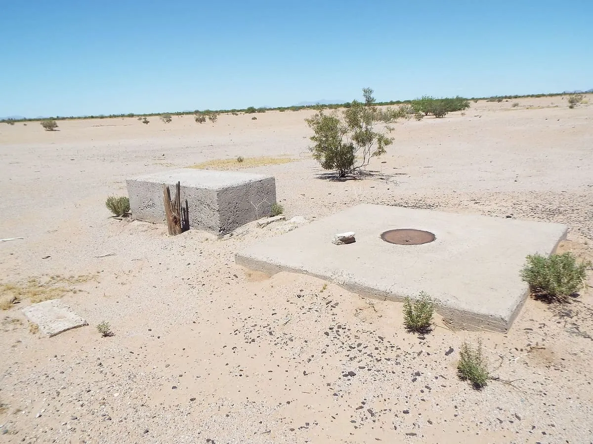
Casa Grande Photogrammetric Test Range
272 concrete survey markers on a 16-mile grid around Casa Grande, maintained from 1959 to 1972 and commonly but wrongly linked to the Corona satellites.
The 3 attractions in this database associated with Casa Grande, ranked by the site's overall score.
3 attractions
Landmark
Landmark
Attractions are associated with the nearest recognisable destination rather than by municipal boundary, so a place just outside Casa Grande still appears here if that is how visitors reach it. None of these publish an official visitor count, so they are ranked on public interest and tourism significance. Each page says so.
The closest attractions outside Casa Grande, measured from the places listed above rather than from a town centre nothing occupies.
Browse more nearby: Pinal County · Statewide ranking