3.1 miles away
Flagstaff Nordic Center
A Flagstaff-area cross-country ski centre with over 50 km of groomed trails, open for hiking and mountain biking in summer.
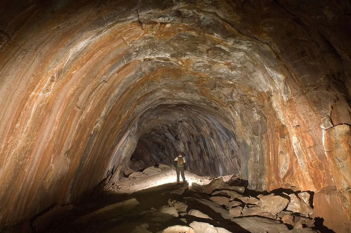
A 0.75-mile lava tube west of Flagstaff, the longest known in Arizona, formed by an eruption 650,000 to 700,000 years ago.
Lava River Cave is a lava tube in the Coconino National Forest of northern Arizona, about 14 miles west of Flagstaff. At approximately 0.75 miles it is the longest cave of its kind known in Arizona. Geologists date its formation to between 650,000 and 700,000 years ago, when molten lava erupted from a volcanic vent in nearby Hart Prairie: the top, sides and bottom of the flow cooled and solidified while the lava in the middle flowed out, leaving a hollow space. Both ʻaʻā and pāhoehoe basaltic lava can be seen inside. Lumbermen discovered the cave in 1915, and it was long called Government Cave, after its position on the eastern edge of Government Prairie and south-east of Government Peak. The passage ranges from 30 feet high to 2 or 3 feet in a side passage that rejoins the main tunnel, there are no light sources inside, and temperatures are around 40 °F in summer, with ice on some of the rocks. Litter and graffiti have been problems since the late 1960s; a restoration in May 1991 removed almost all of both. The cave is managed by the United States Forest Service and is open all year, though the dirt roads to it may be impassable in winter or wet weather.
Lava River Cave is a natural landmark near Flagstaff, in Coconino County. It is one of the natural landmarks in this database, and appears in the statewide ranking of Arizona attractions.
No official visitor count is published for Lava River Cave, so its score rests on public interest and tourism significance, and is capped below the level a measured attraction can reach. That is why the medium confidence above is not higher. The weighting is explained in full on the methodology page, and every axis is broken out under Facts and sources at the foot of this page.
Note on the data: No official visitor count is published for this attraction.
Record last verified 2026-08-12.
3.1 miles away
4.6 miles away
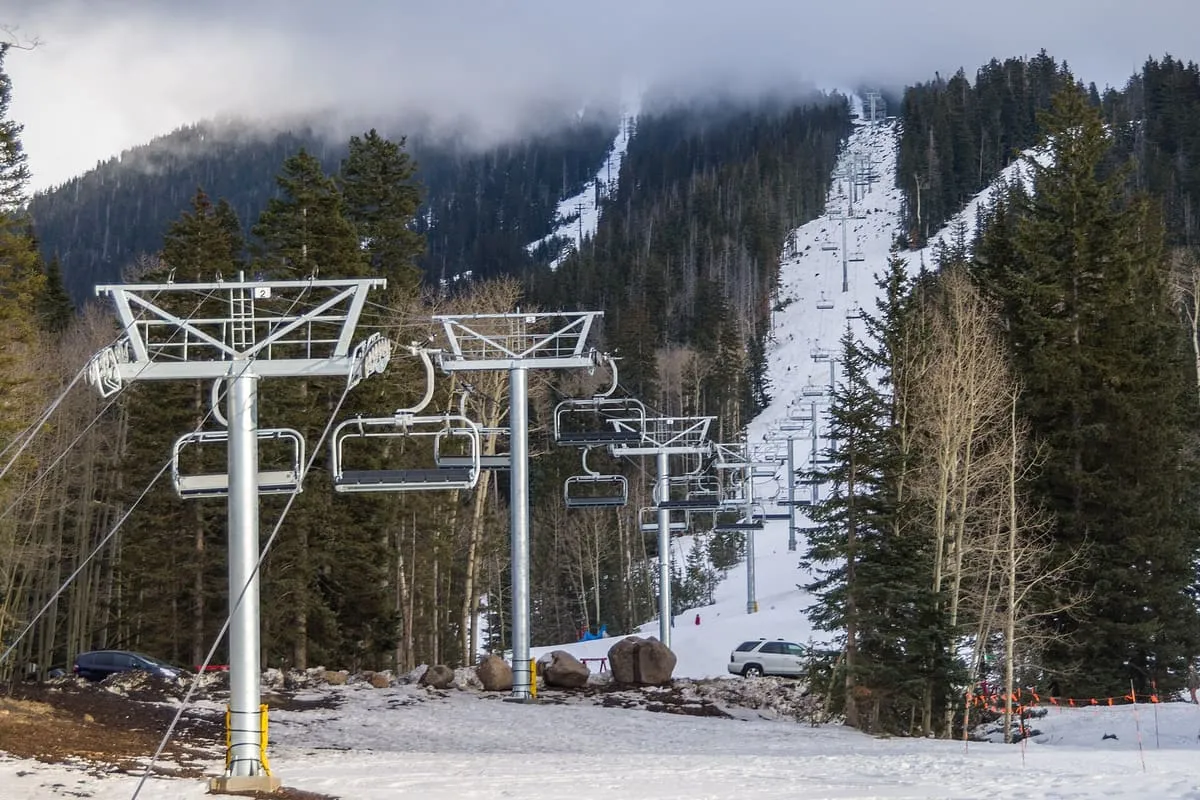
7.1 miles away
7.4 miles away
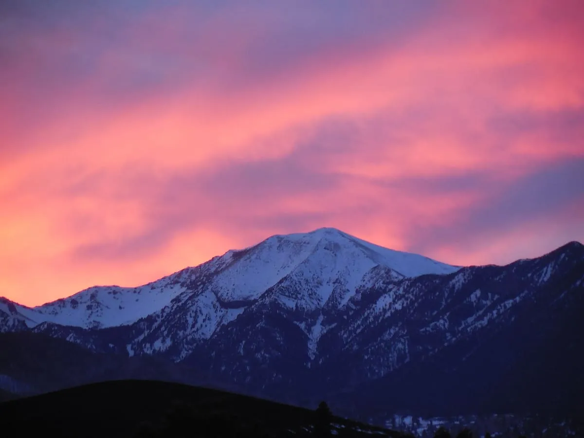
8.9 miles away
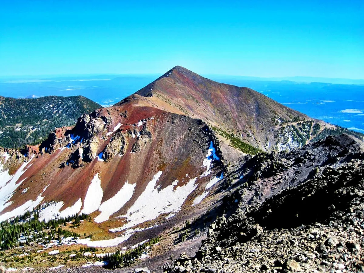
9.0 miles away