2.7 miles away
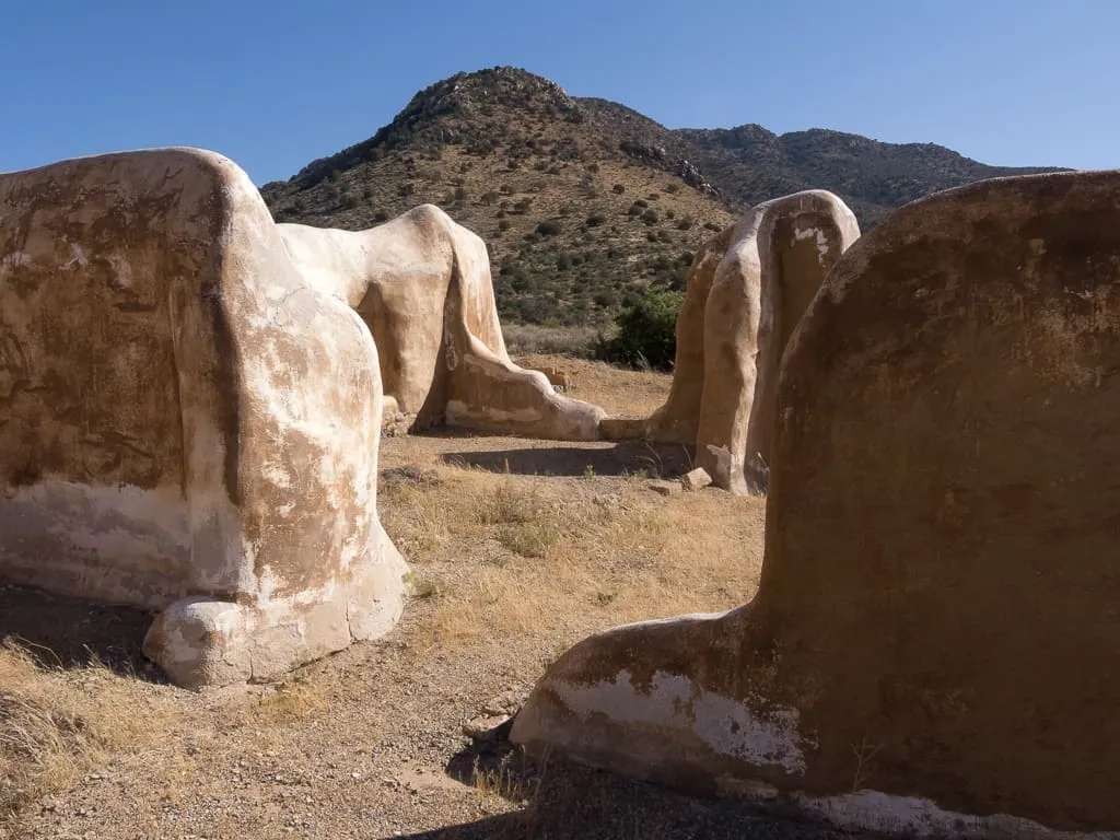
Fort Bowie
A US Army post established in 1862 near Apache Pass, central to operations that ended with the surrender of Geronimo in 1886.
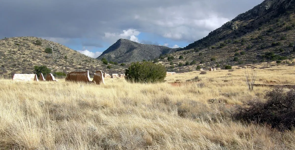
A 5,110-foot pass between the Dos Cabezas and Chiricahua Mountains east of Willcox, known in Spanish as Puerto del Dado.
Apache Pass is a mountain pass in Cochise County, Arizona, between the Dos Cabezas Mountains and the Chiricahua Mountains, at an elevation of 5,110 feet. It lies about 20 miles east-south-east of Willcox. Its earlier Spanish name was Puerto del Dado, meaning "pass of the die".
Apache Pass is a natural landmark near Chiricahua National Monument, in Cochise County. It is one of the natural landmarks in this database, and appears in the statewide ranking of Arizona attractions.
No official visitor count is published for Apache Pass, so its score rests on public interest and tourism significance, and is capped below the level a measured attraction can reach. That is why the medium confidence above is not higher. The weighting is explained in full on the methodology page, and every axis is broken out under Facts and sources at the foot of this page.
Note on the data: No official visitor count is published for this attraction.
Record last verified 2026-08-12.
2.7 miles away
12 miles away
12 miles away
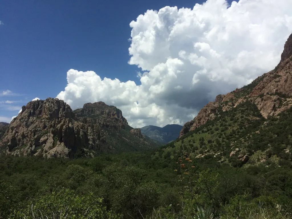
16 miles away
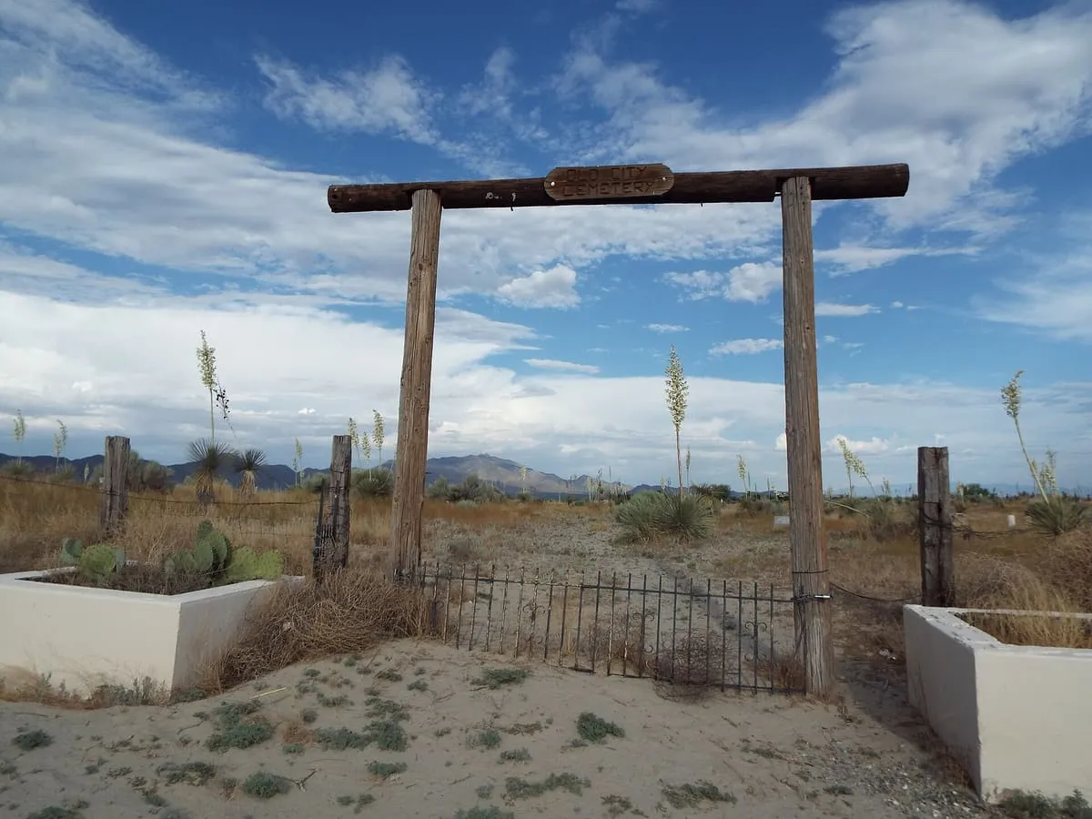
21 miles away
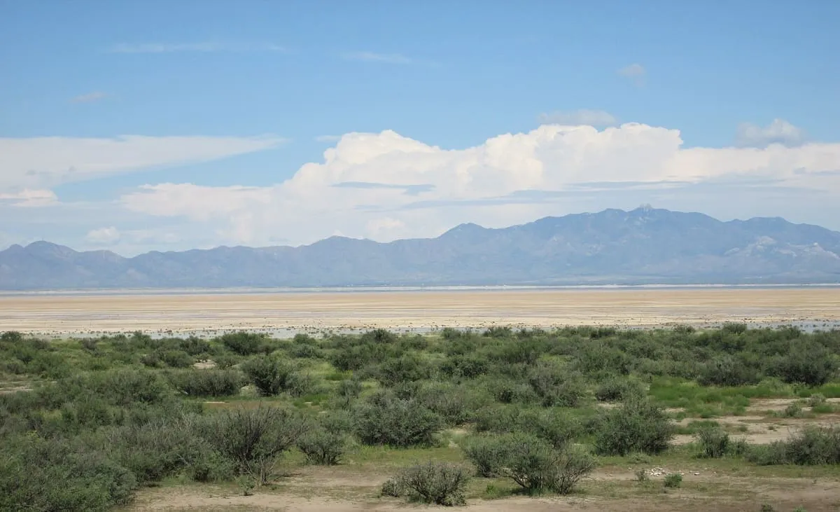
21 miles away