Or browse by category, by county or by city, or search by name.

727 attractions

  • 241Score 44.5 out of 100
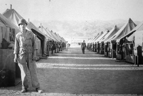
    Camp Bouse

    Historic Site

    Camp Bouse

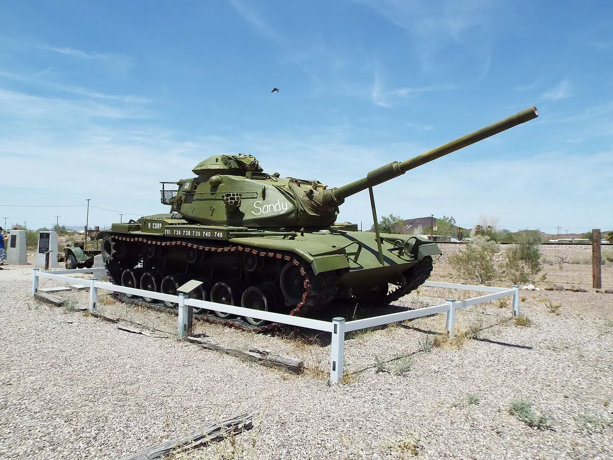
    A secret camp of the US Army's Desert Training Center in western Arizona, 25 miles from the town of Bouse.
  • 242Score 44.5 out of 100
    Colossal Cave Mountain Park

    Natural Landmark

    Colossal Cave Mountain Park

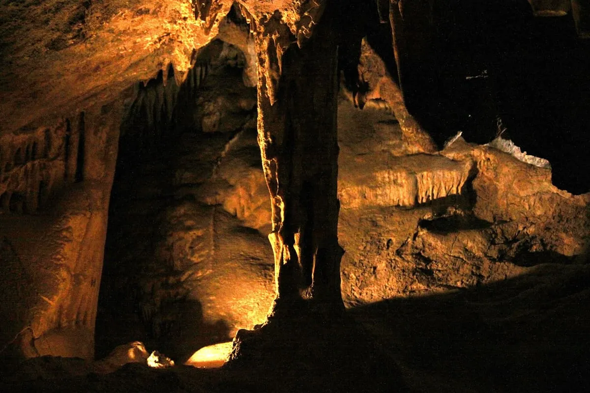
    A dry karst cave near Vail with 3.9 miles of mapped passages, used by Hohokam, Sobaipuri and Apache people.
  • 243Score 44.4 out of 100
    Mazatzal Mountains

    Natural Landmark

    Mazatzal Mountains

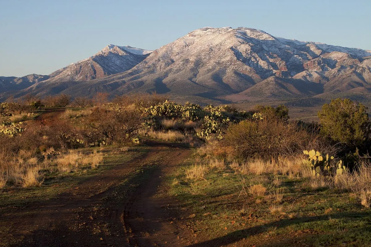
    A range north-east of Phoenix rising to Mazatzal Peak at 7,903 feet, with 252,500 acres protected as wilderness.
  • 244Score 44.3 out of 100
    City of Mesa Cemetery

    Historic Site

    City of Mesa Cemetery

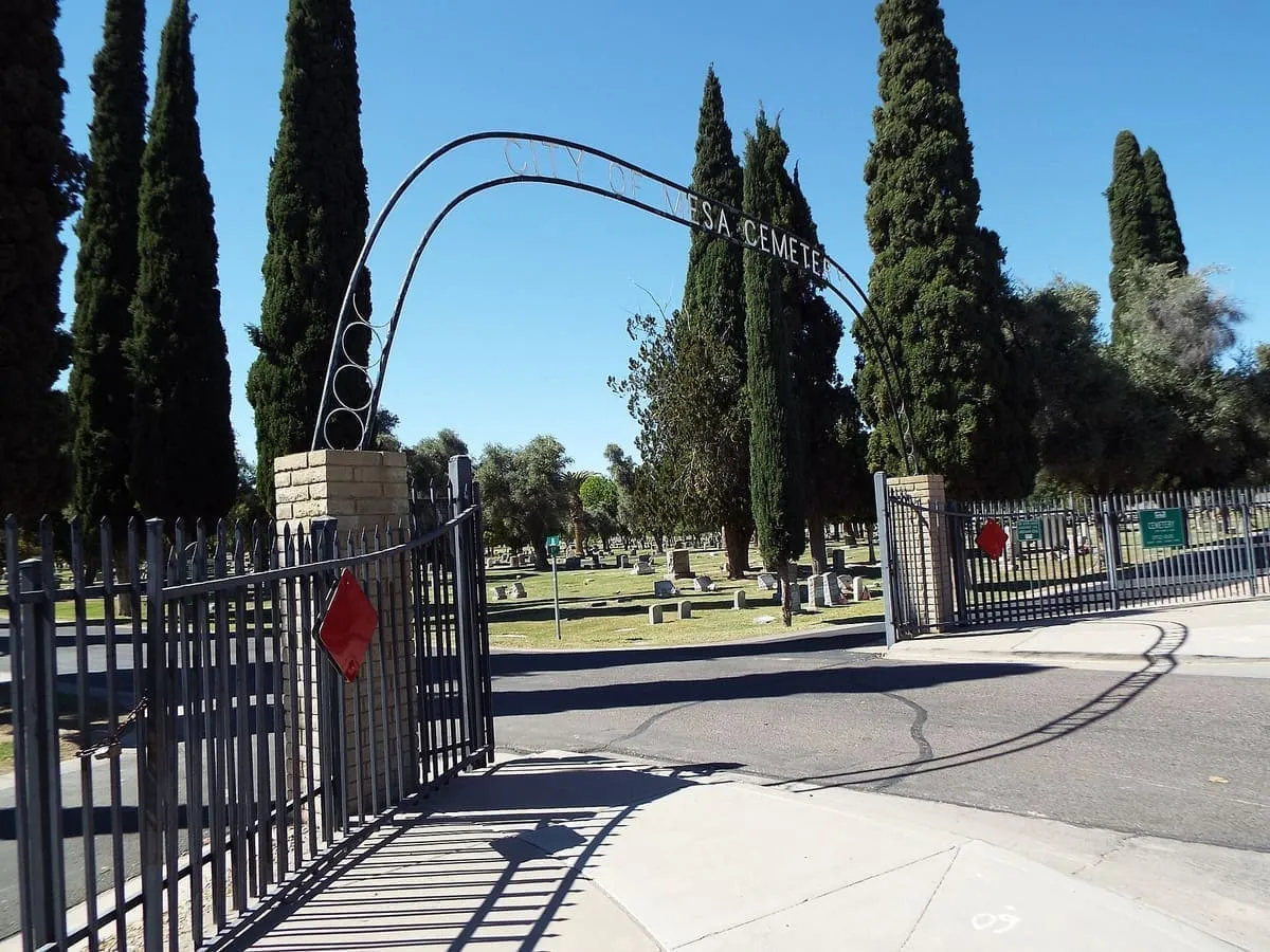
    A historic cemetery on North Center Street in Mesa, holding the graves of early citizens, mayors and veterans.
  • 245Score 44.3 out of 100
    Hackberry

    Historic Site

    Hackberry

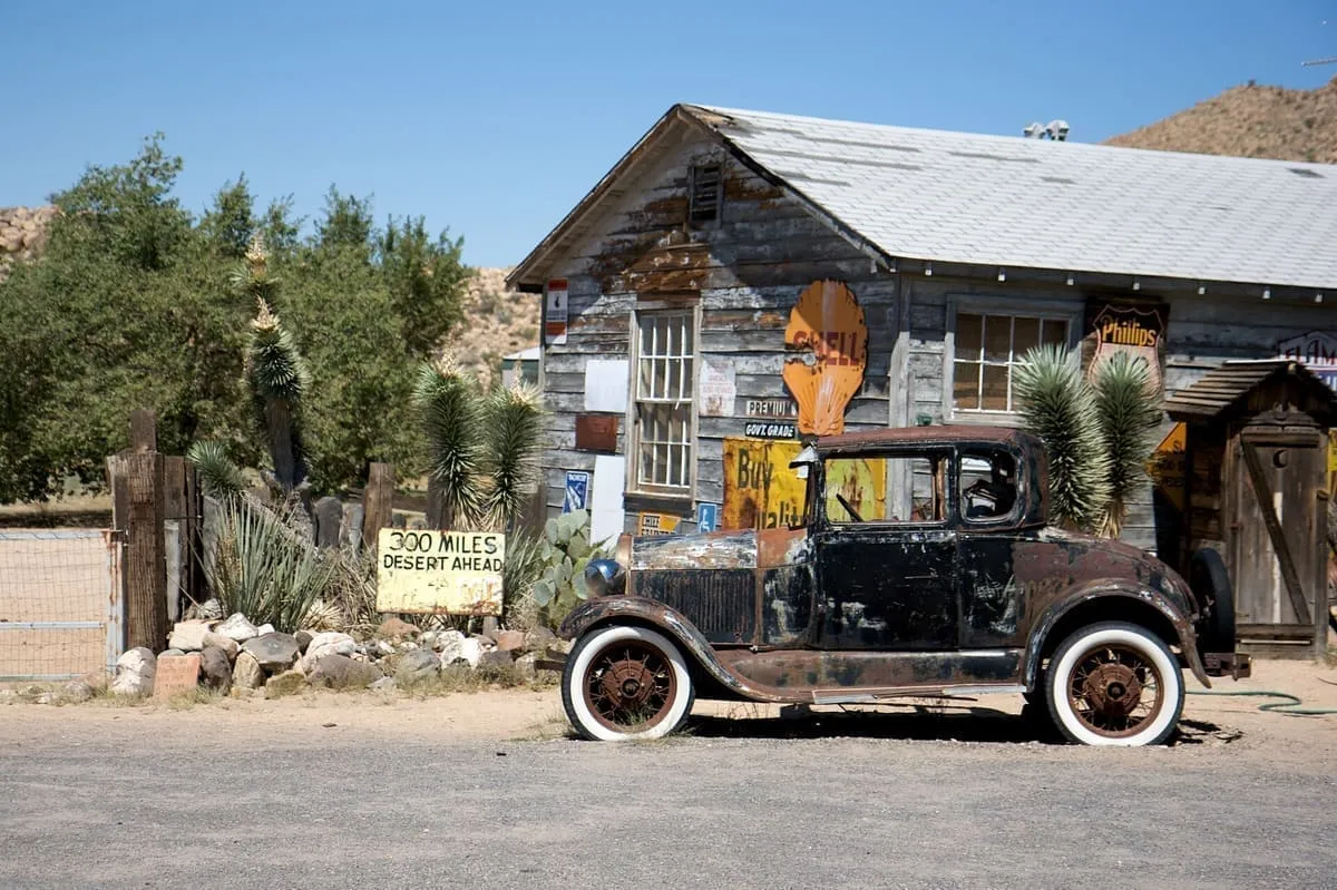
    An unincorporated community on the old Route 66, 28 miles north-east of Kingman, with 103 residents in 2020.
  • 246Score 44.3 out of 100
    McDowell Mountains

    Natural Landmark

    McDowell Mountains

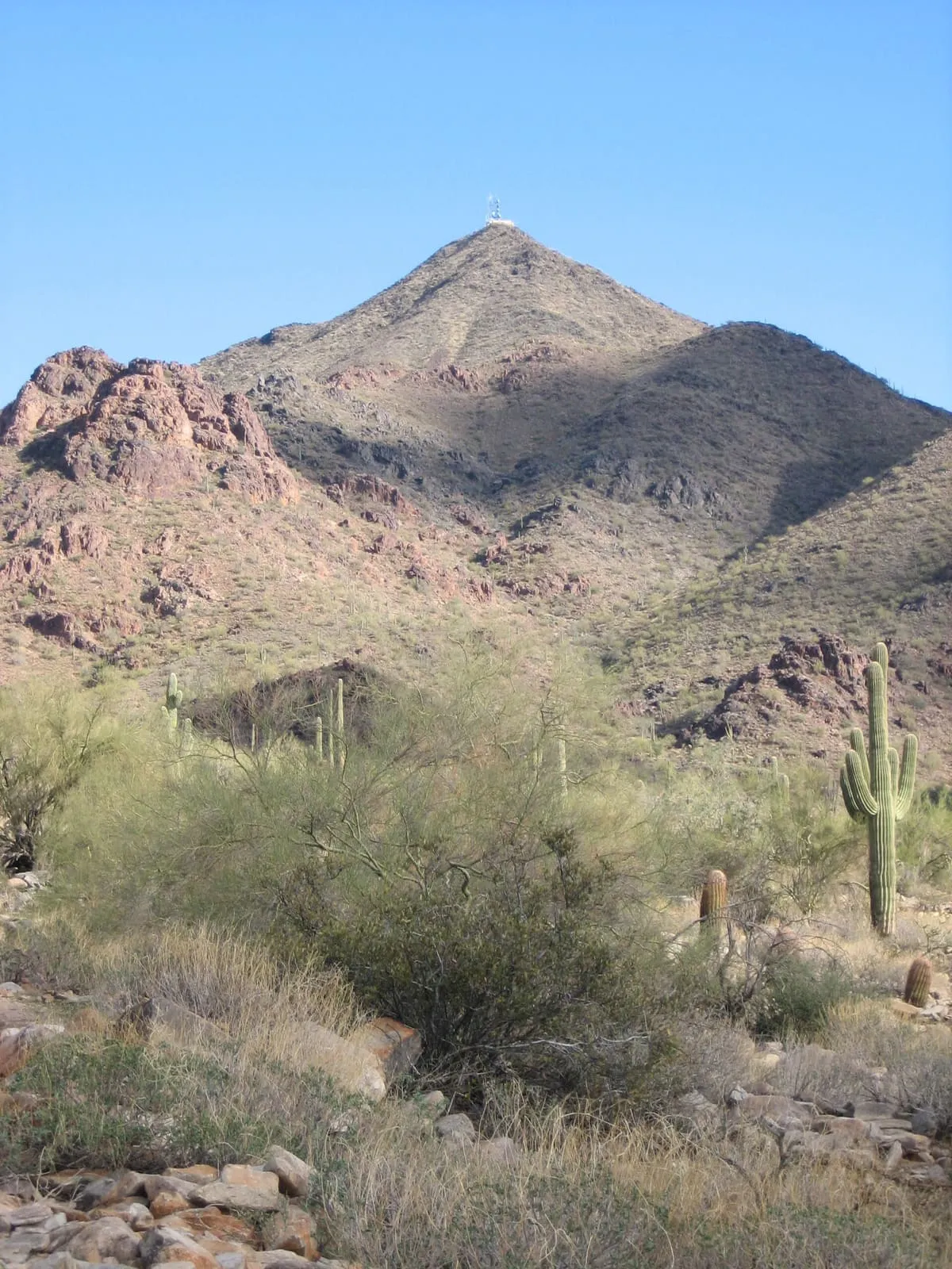
    A range twenty miles north-east of downtown Phoenix, rising to East End at 4,069 feet and preserved by Scottsdale.
  • 247Score 44.3 out of 100
    North Kaibab Trail

    Natural Landmark

    North Kaibab Trail

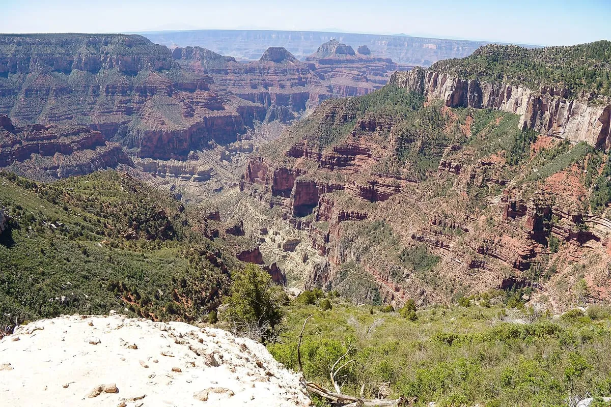
    The Grand Canyon's North Rim trail, descending steeply to Roaring Springs and on to the Colorado River.
  • 248Score 44.2 out of 100
    Cathedral of Saint Augustine

    Historic Site

    Cathedral of Saint Augustine

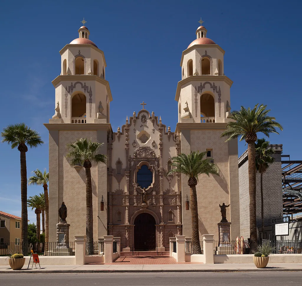
    The cathedral and mother church of the Catholic Diocese of Tucson, known in Spanish as the Catedral de San Agustín.
  • 249Score 44.2 out of 100
    Phantom Ranch

    Landmark

    Phantom Ranch

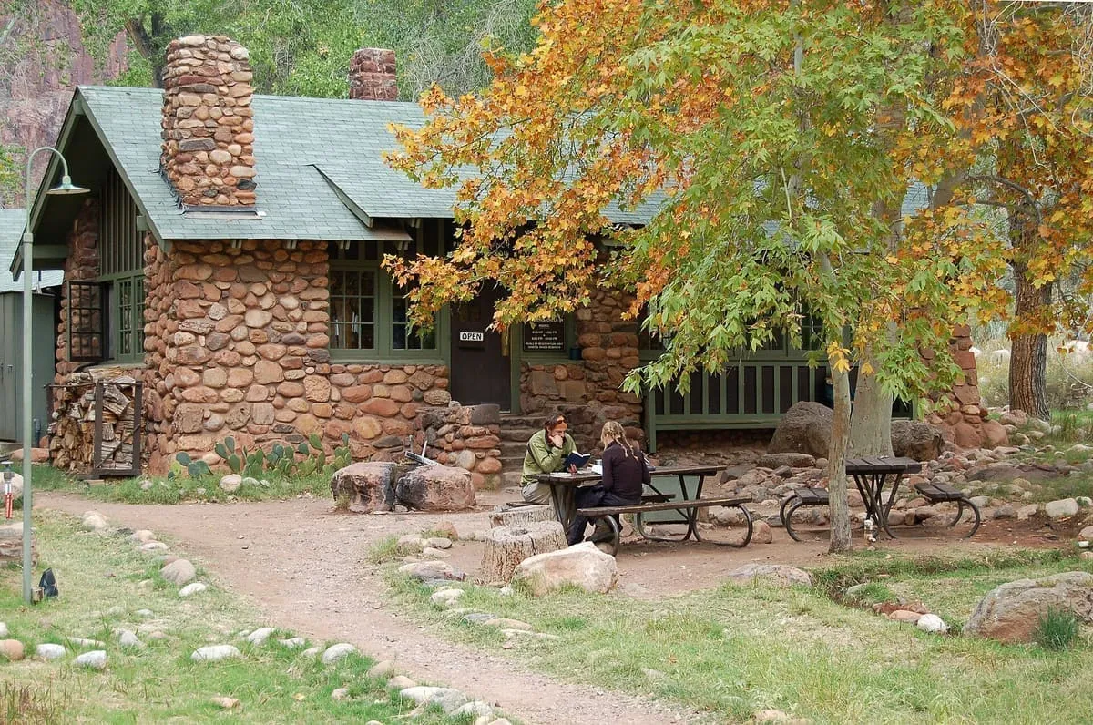
    A lodge at the bottom of the Grand Canyon beside Bright Angel Creek, opened in 1922 and a member of Historic Hotels of America.
  • 250Score 44.1 out of 100
    Arizona Financial Theatre

    Landmark

    Arizona Financial Theatre

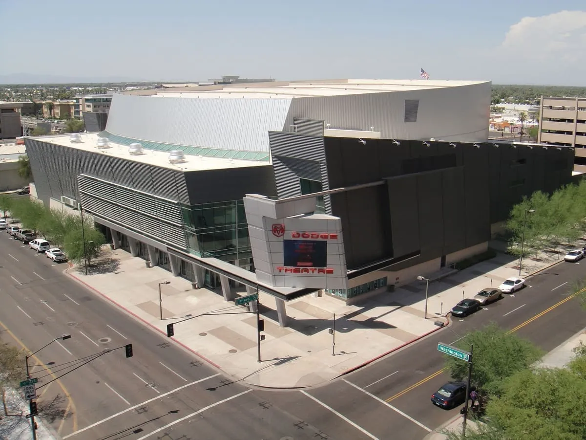
    A 5,000-seat multi-use theatre in Downtown Phoenix, opened as the Dodge Theatre and now named the Arizona Financial Theatre.
  • 251Score 44.1 out of 100
    La Paz

    Historic Site

    La Paz

    A gold rush town on the Colorado River, founded in 1862 and long abandoned before La Paz County took its name.
  • 252Score 44.1 out of 100
    Madera Canyon

    Canyon

    Madera Canyon

    A canyon in the Santa Rita Mountains south-east of Tucson, within the Coronado National Forest and known for its migrating birds.
  • 253Score 44.0 out of 100
    Chiricahua Peak

    Natural Landmark

    Chiricahua Peak

    The highest point of the Chiricahua Mountains and of Cochise County, at 9,773 feet, with southernmost Engelmann spruce.
  • 254Score 44.0 out of 100
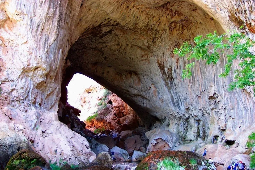
    Tonto Natural Bridge State Park

    State Park

    Tonto Natural Bridge State Park

    Believed to be the largest natural travertine bridge in the world, standing 183 feet over a 400-foot tunnel.
  • 255Score 43.9 out of 100
    Agua Caliente

    Historic Site

    Agua Caliente

    A place in Maricopa County north of the Gila River, named in 1744 for hot springs that later carried a resort.
  • 256Score 43.8 out of 100
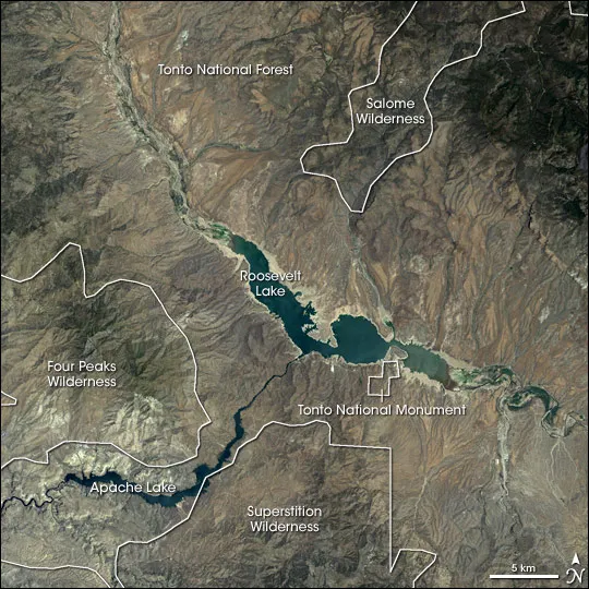
    Tonto Basin

    Natural Landmark

    Tonto Basin

    The drainage basin of Tonto Creek in central Arizona, running south-west of the Mogollon Rim to Theodore Roosevelt Lake.
  • 257Score 43.7 out of 100
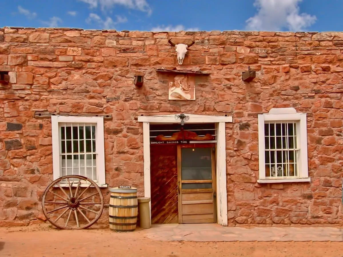
    Hubbell Trading Post National Historic Site

    National Historic Site

    Hubbell Trading Post National Historic Site

    The oldest continuously operated trading post on the Navajo Nation, preserved as a National Historic Site.
  • 258Score 43.7 out of 100
    Parker Canyon Lake

    Natural Landmark

    Parker Canyon Lake

    A reservoir in the Canelo Hills of Cochise County, 28 miles south-west of Sierra Vista and 5 miles from Mexico.
  • 259Score 43.6 out of 100
    Fairbank

    Historic Site

    Fairbank

    A ghost town on the San Pedro River, settled in 1881 as the nearest rail stop to Tombstone and now inside a conservation area.
  • 260Score 43.5 out of 100
    Hermit's Rest

    Historic Site

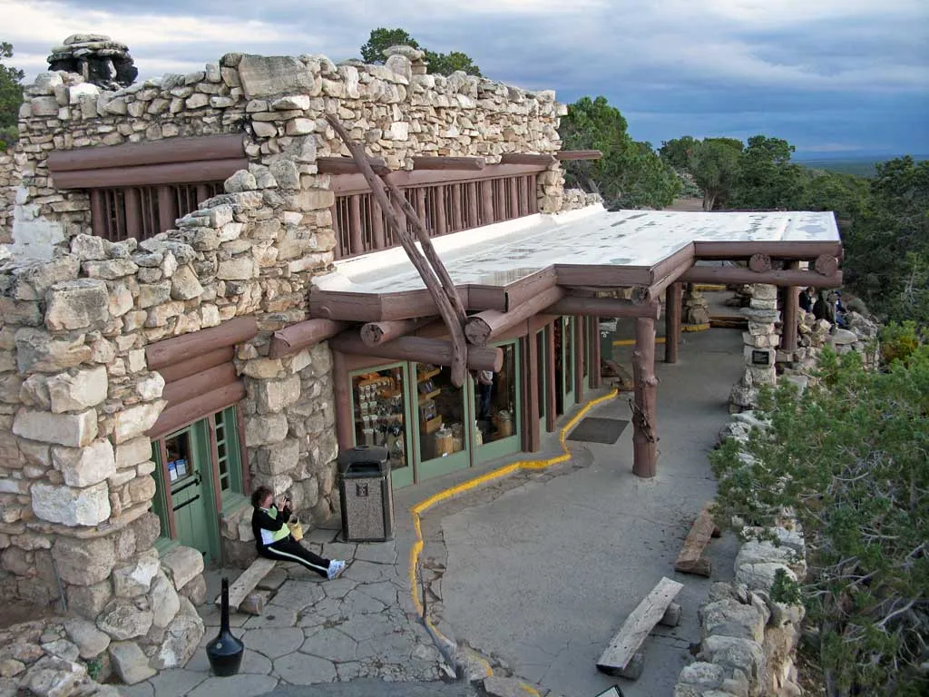
    Hermit's Rest

    A 1914 Mary Colter building at the western end of Hermit Road on the Grand Canyon's south rim, and a National Historic Landmark.
  • 261Score 43.5 out of 100
    Lynx Lake

    Natural Landmark

    Lynx Lake

    A 55-acre reservoir in the Bradshaw Mountains east of Prescott, formed by a dam on Lynx Creek in 1963 and stocked for fishing.
  • 262Score 43.5 out of 100
    Walnut Grove Dam

    Historic Site

    Walnut Grove Dam

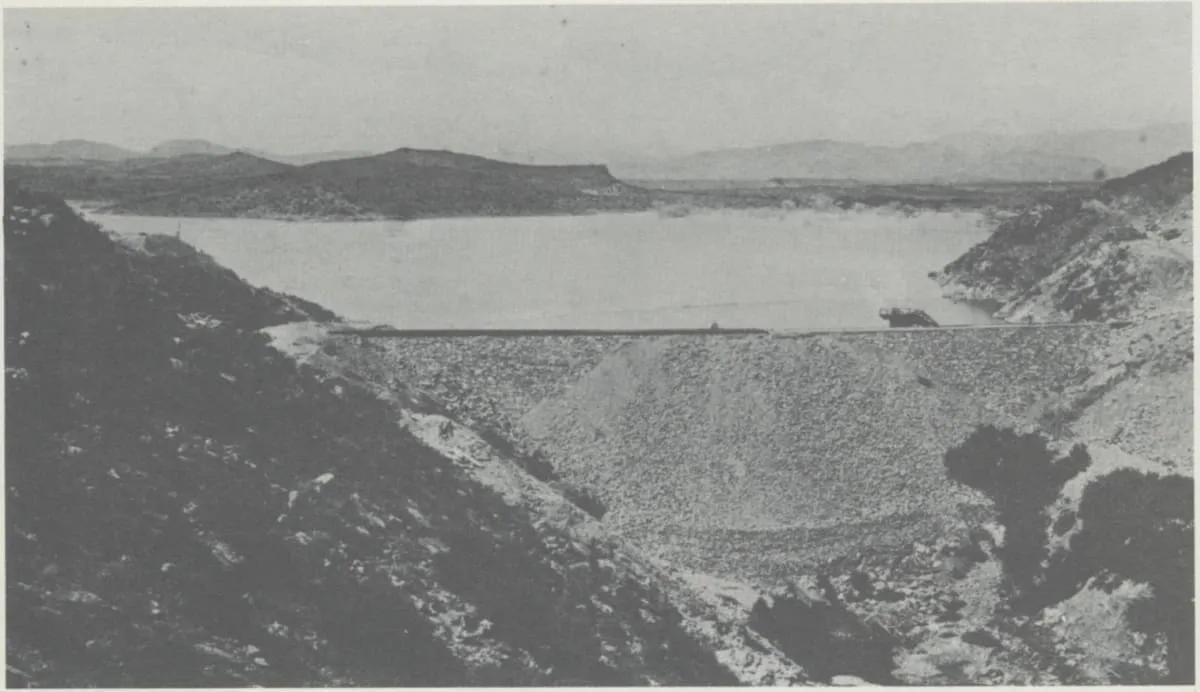
    A dam on the Hassayampa River north of Wickenburg, built from 1886 for gold mining, whose failure in 1890 killed over 100 people.
  • 263Score 43.3 out of 100
    Rialto Theatre

    Historic Site

    Rialto Theatre

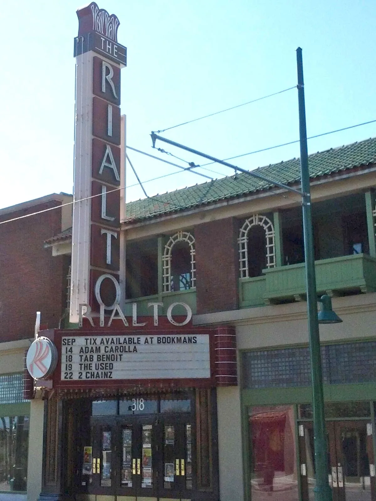
    A performance theatre and concert venue on Congress Street in downtown Tucson, listed on the National Register of Historic Places in 2003.
  • 264Score 43.3 out of 100
    Schieffelin Hall

    Historic Site

    Schieffelin Hall

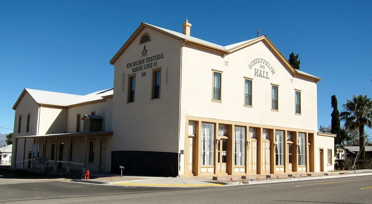
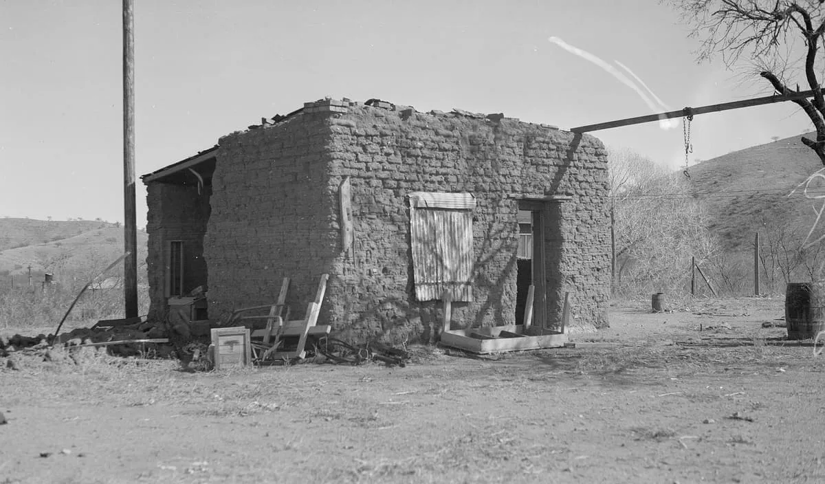
    An 1881 adobe opera house, theatre and meeting hall at Tombstone, described as the largest standing adobe structure in the South-West.
  • 265Score 43.1 out of 100
    Tip Top

    Historic Site

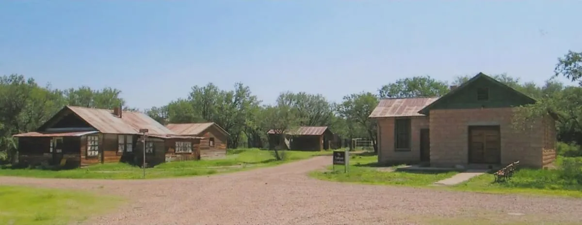
    Tip Top

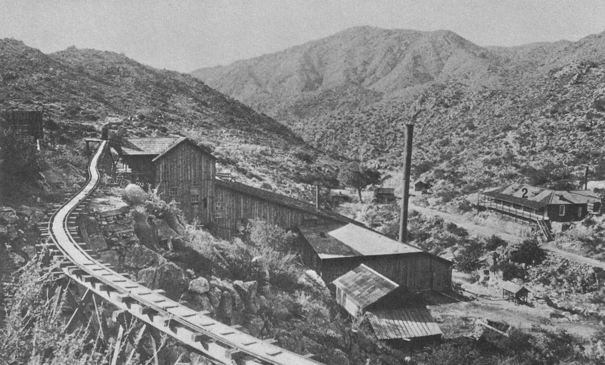
    Tip Top is a ghost town in Yavapai County, Arizona, settled in 1876 in what was then Arizona Territory.
  • 266Score 43.0 out of 100

    Natural Landmark

    Cienega of San Simon

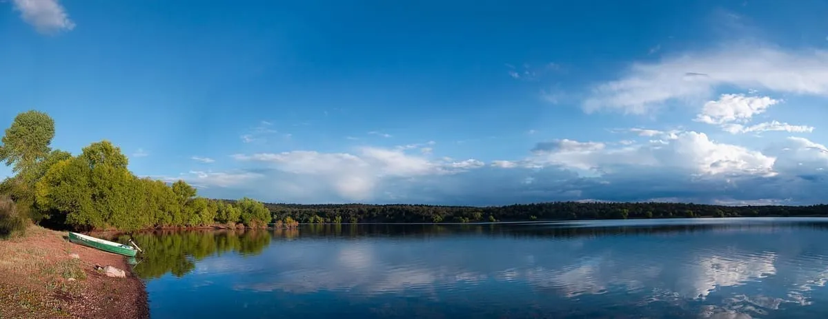
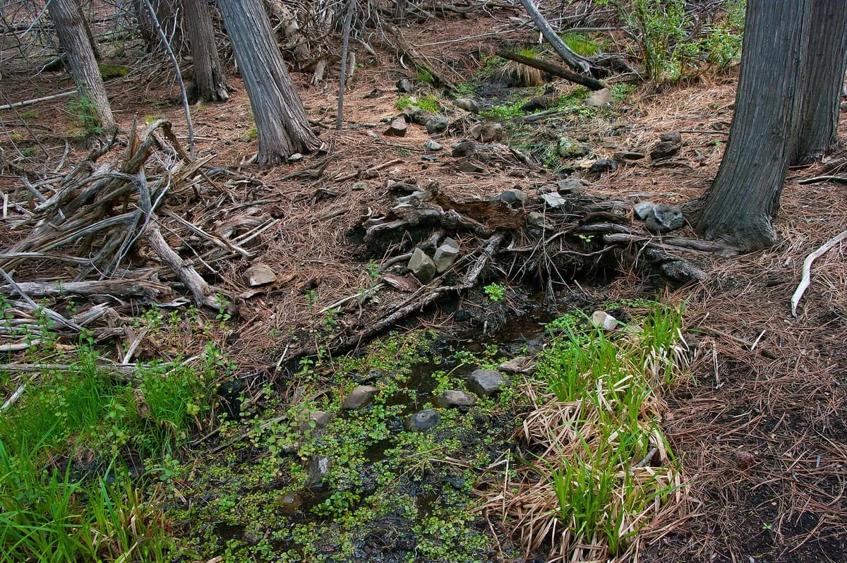
    A former cienega, or area of springs, 13 miles up the San Simon River from San Simon Station in Cochise County.
  • 267Score 43.0 out of 100
    Willow Springs Lake

    Natural Landmark

    Willow Springs Lake

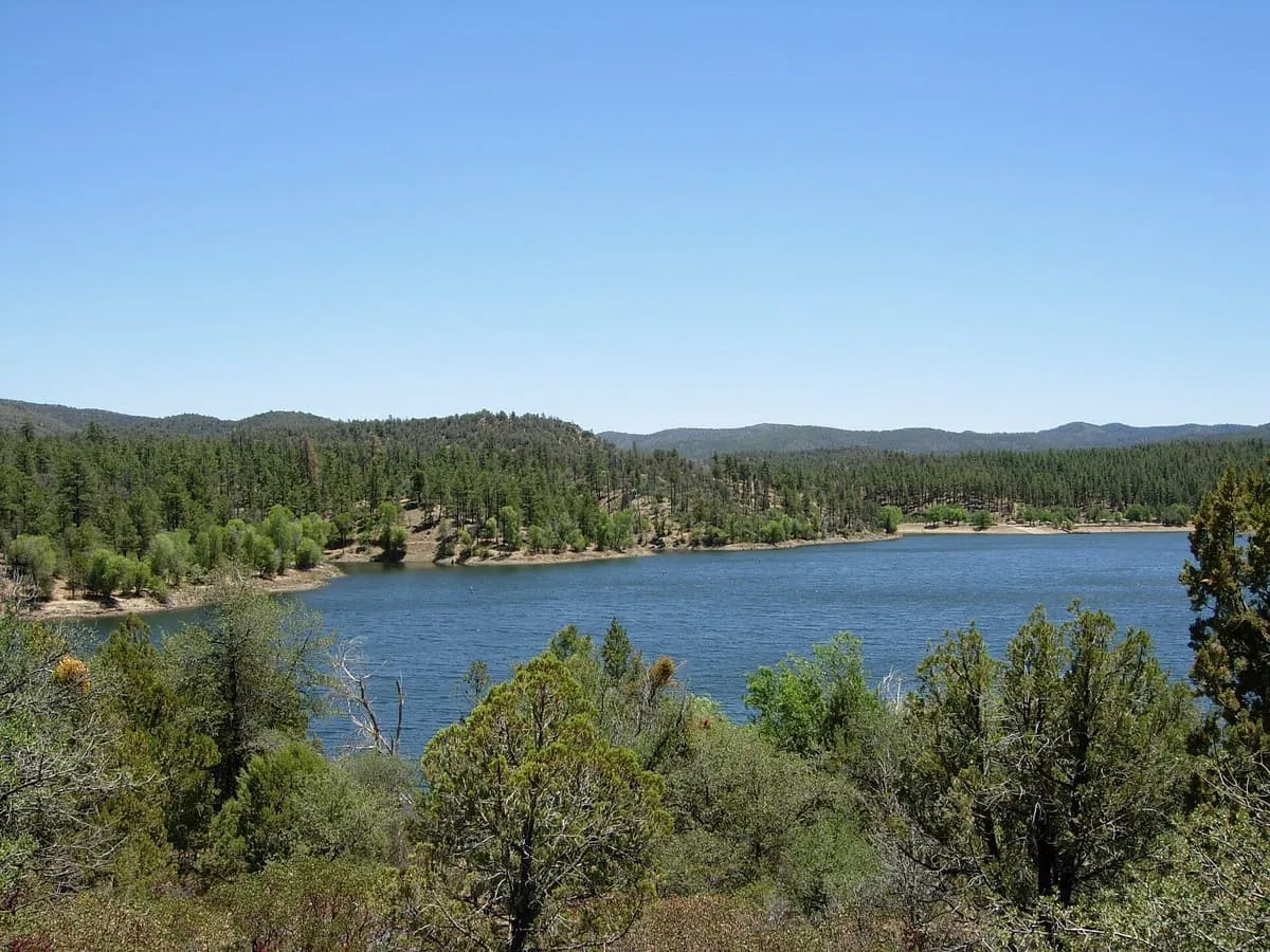
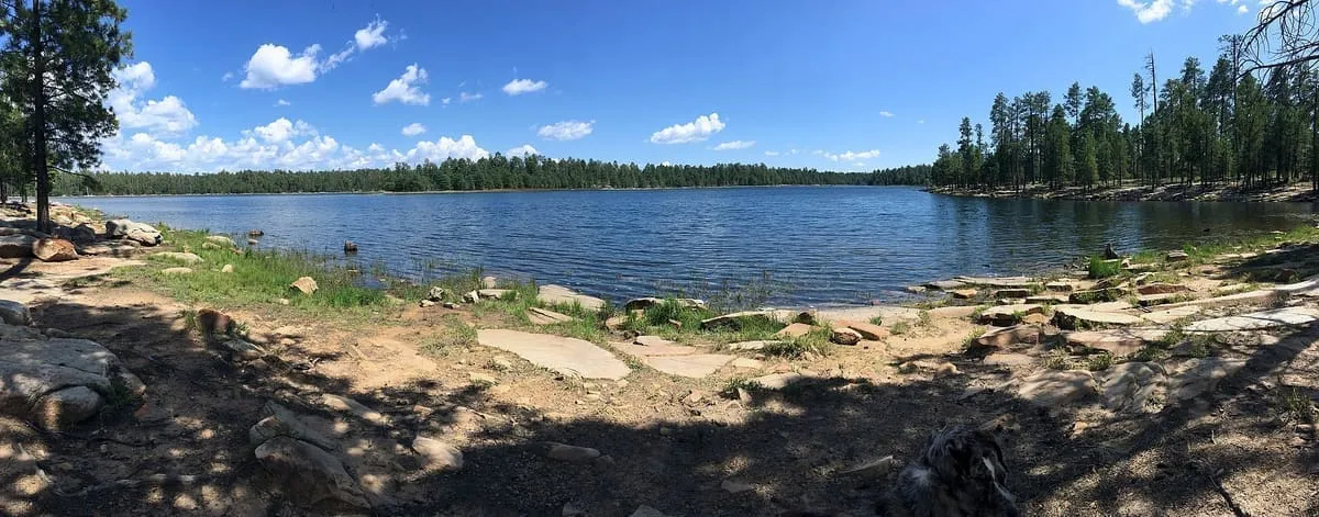
    A canyon-bound cold-water lake on the Mogollon Rim, 23 miles east of Payson, and one of the Rim Lakes in the Apache-Sitgreaves forests.
  • 268Score 43.0 out of 100
    Yuma Territorial Prison

    State Historic Park

    Yuma Territorial Prison

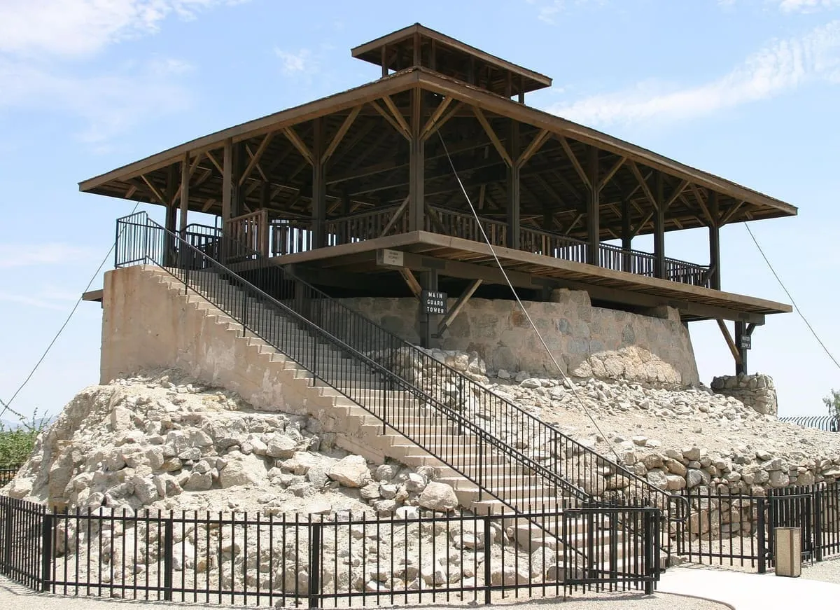
    A prison that took inmates from 1876 to 1909, now operated as a museum by Arizona State Parks in Yuma.
  • 269Score 42.9 out of 100
    Black Mountains

    Natural Landmark

    Black Mountains

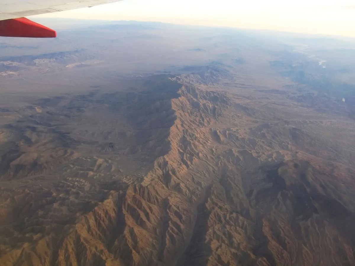
    A 75-mile range in north-western Arizona along the Colorado River below Hoover Dam, holding three wilderness areas and the mining site of Oatman.
  • 270Score 42.9 out of 100
    McKale Center

    Landmark

    McKale Center

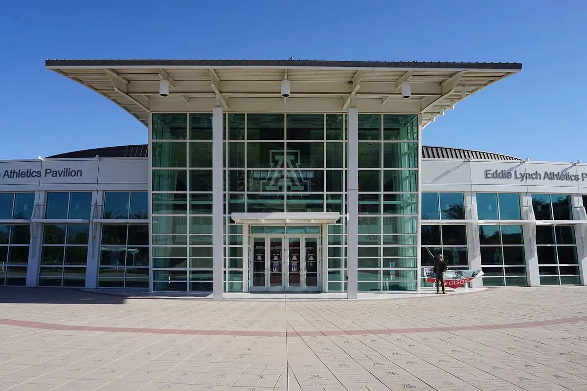
    The University of Arizona's athletic arena in Tucson, home of the Wildcats basketball team of the Big 12 Conference.
  • 271Score 42.8 out of 100
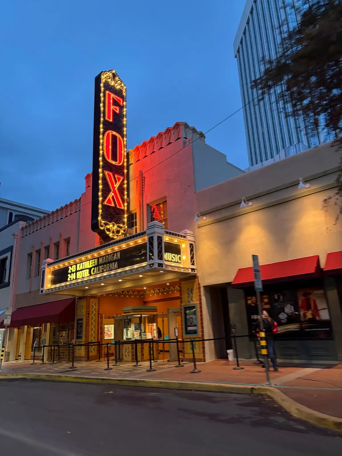
    Fox Tucson Theatre

    Historic Site

    Fox Tucson Theatre

    A performance space in downtown Tucson that opened on 11 April 1930 and stages ballet, jazz, pop, world music and rock.
  • 272Score 42.8 out of 100
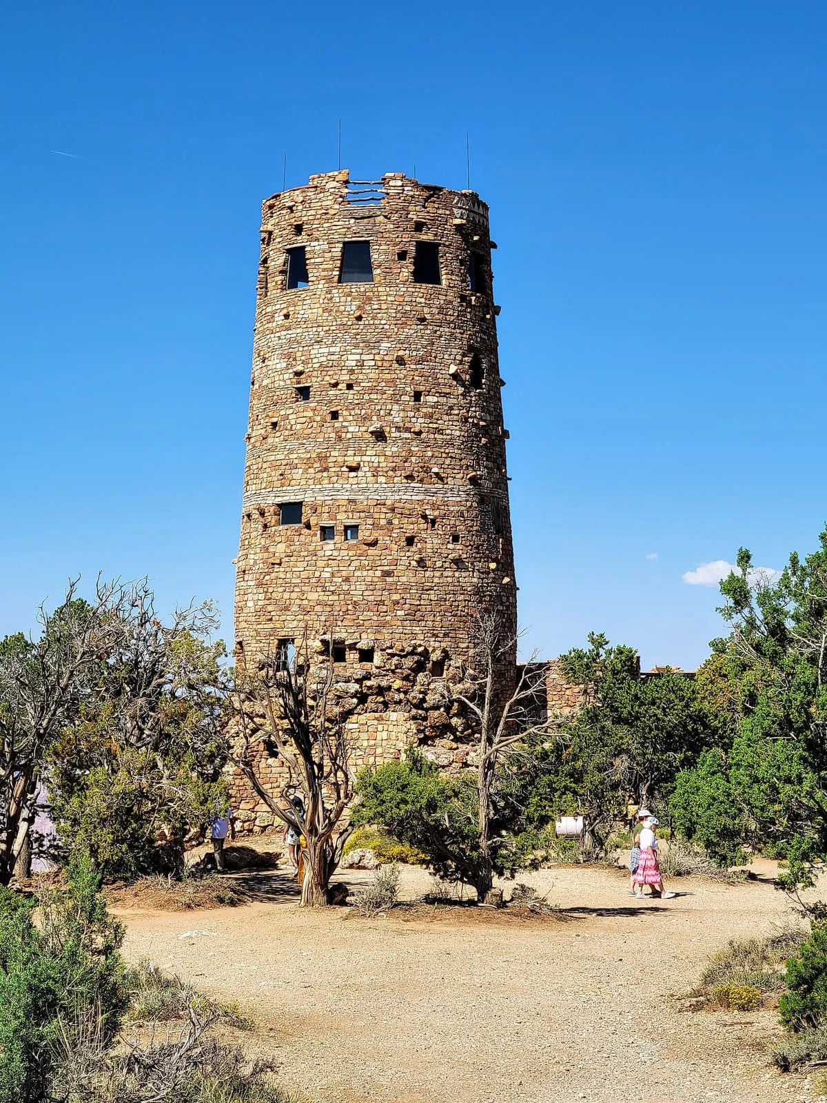
    Mary Jane Colter buildings

    Historic Site

    Mary Jane Colter buildings

    Four Grand Canyon buildings designed by Mary Colter between 1905 and 1932, declared a National Historic Landmark as a set in 1987.
  • 273Score 42.8 out of 100
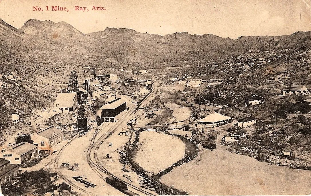
    Ray

    Historic Site

    Ray

    A Pinal County ghost town beside a large copper mine, emptied from 1958 when Kennecott moved its residents to the new town of Kearny.
  • 274Score 42.7 out of 100
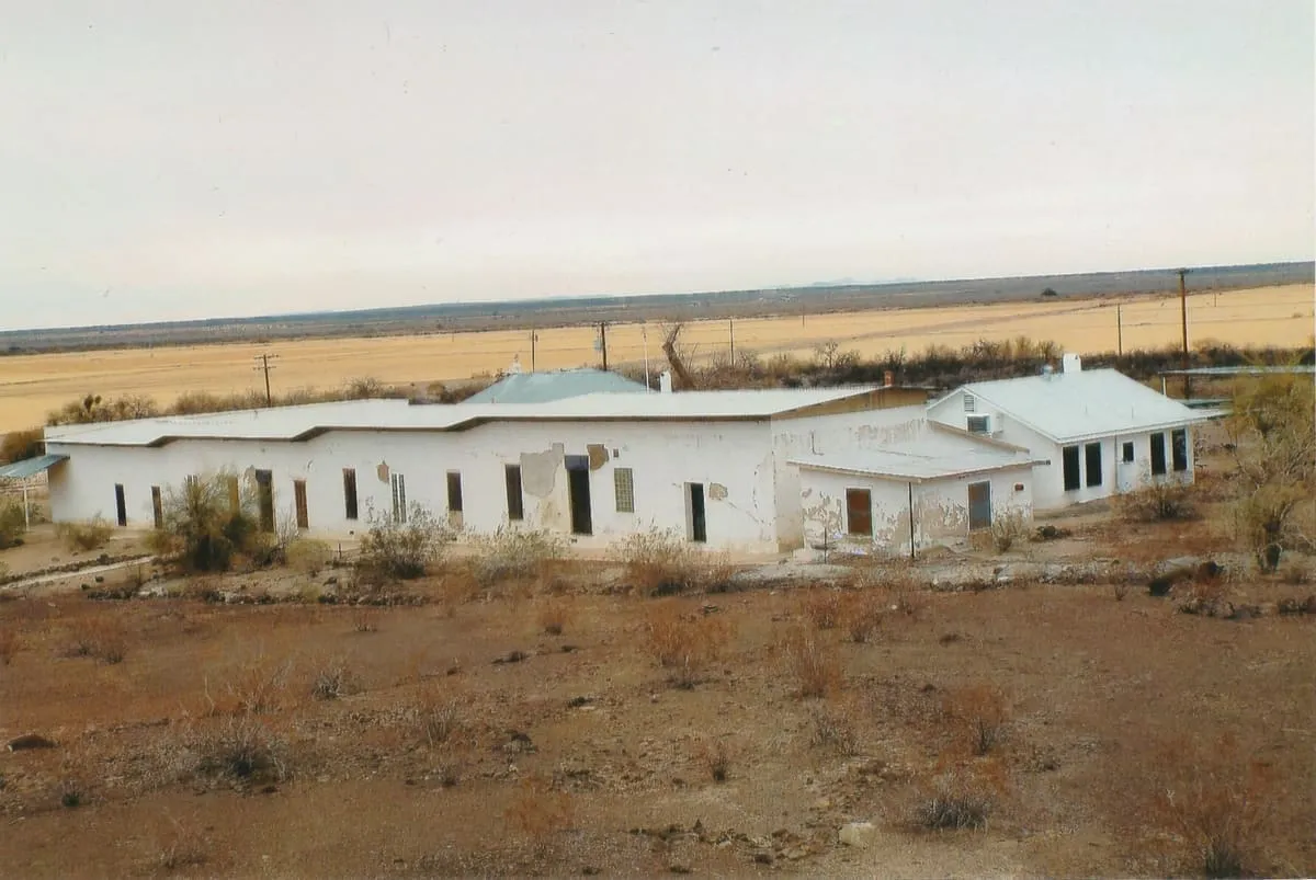
    Camp Hyder

    Historic Site

    Camp Hyder

    A Desert Training Center subcamp south of Hyder, built in August 1942 and closed in May 1944, where two infantry divisions trained.
  • 275Score 42.7 out of 100
    Wildlife World Zoo

    Zoo or Aquarium

    Wildlife World Zoo

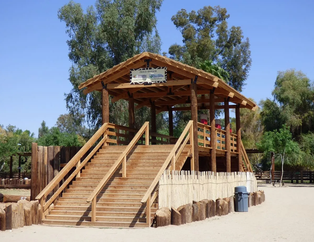
    A 215-acre zoo and aquarium at Litchfield Park near Phoenix, specialising in African and South American animals.
  • 276Score 42.6 out of 100
    Castles N' Coasters

    Landmark

    Castles N' Coasters

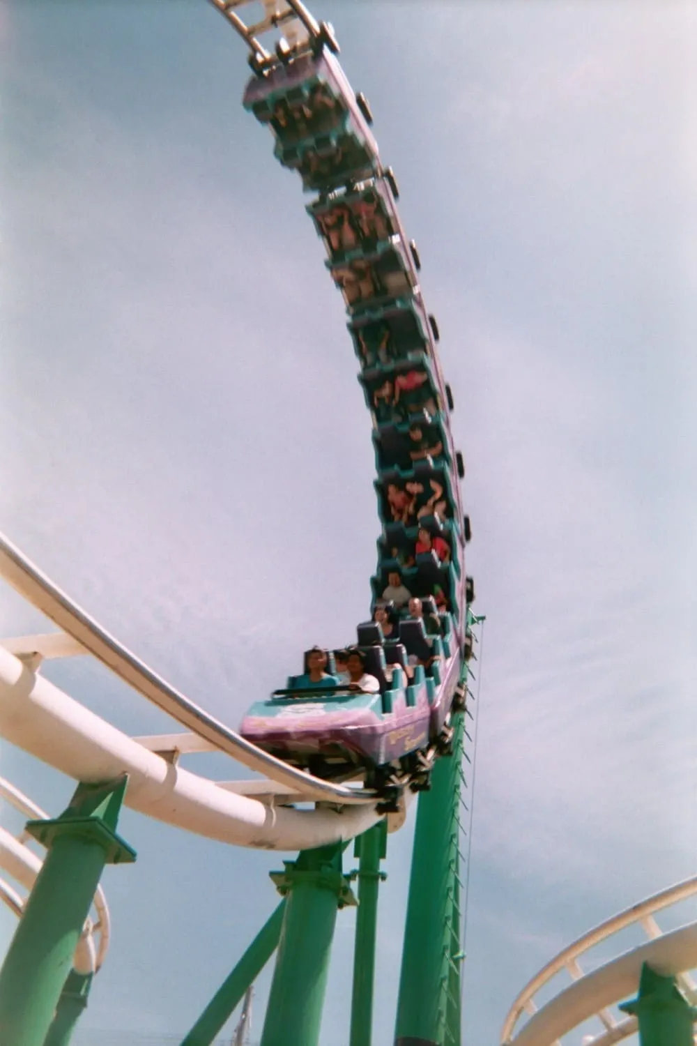
    A 14-acre amusement park in Phoenix, built in 1976, with two roller coasters and four 18-hole miniature golf courses.
  • 277Score 42.6 out of 100
    Cleator

    Historic Site

    Cleator

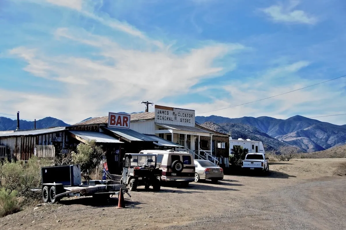
    A near ghost town and small community in Yavapai County, Arizona, formerly known as Turkey Creek or Turkey.
  • 278Score 42.6 out of 100
    Granite Dells

    Natural Landmark

    Granite Dells

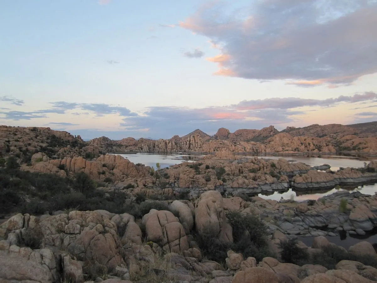
    Exposed granite bedrock and boulders north of Prescott, eroded into a rippled form and holding Watson and Willow lakes.
  • 279Score 42.6 out of 100
    Lava River Cave

    Natural Landmark

    Lava River Cave

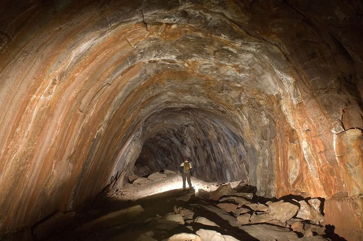
    A 0.75-mile lava tube west of Flagstaff, the longest known in Arizona, formed by an eruption 650,000 to 700,000 years ago.
  • 280Score 42.6 out of 100
    Patagonia Lake State Park

    State Park

    Patagonia Lake State Park

    A 250-acre lake south of Patagonia, created by damming Sonoita Creek, used for fishing, boating and birding.
  • 281Score 42.6 out of 100
    Toroweap Overlook

    Natural Landmark

    Toroweap Overlook

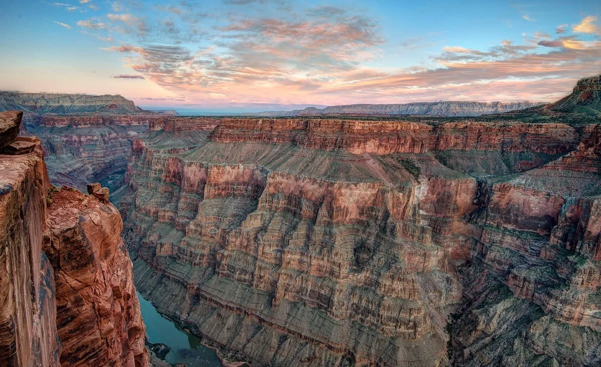
    The only viewpoint in Grand Canyon National Park with the Colorado River vertically below, 3,000 feet down on the remote North Rim.
  • 282Score 42.5 out of 100
    Pete Kitchen Ranch

    Historic Site

    Pete Kitchen Ranch

    A ranch established on Potrero Creek near Nogales in about 1862, reputed to be the first permanent American ranch in Arizona.
  • 283Score 42.5 out of 100
    Sycamore Canyon

    Canyon

    Sycamore Canyon

    A 21-mile canyon below the Mogollon Rim west of Sedona, the second largest in the Arizona redrock country after Oak Creek Canyon.
  • 284Score 42.4 out of 100
    Kofa National Wildlife Refuge

    Natural Landmark

    Kofa National Wildlife Refuge

    A refuge of over 665,400 acres north-east of Yuma, established in 1939 for desert bighorn sheep and holding the Kofa Wilderness.
  • 285Score 42.4 out of 100
    Pinnacle Peak

    Natural Landmark

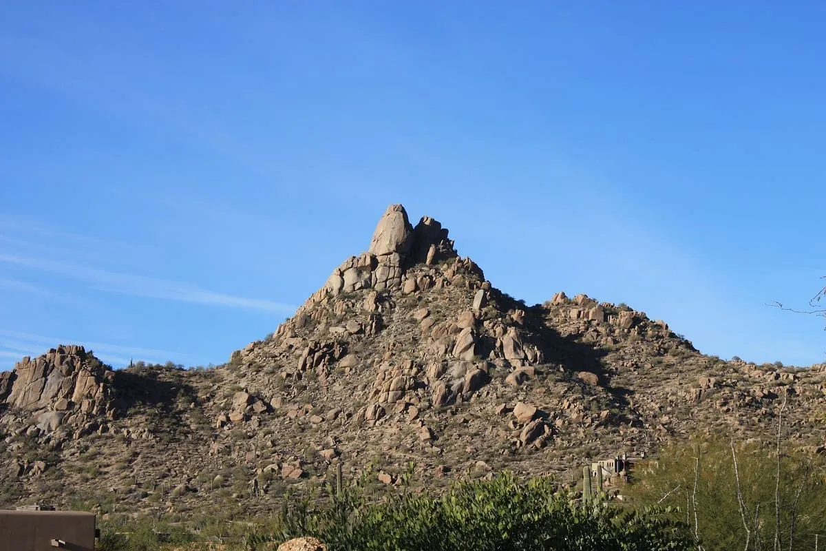
    Pinnacle Peak

    A 3,169-foot granite summit in Scottsdale, inside a 150-acre city park crossed by a 1.75-mile trail; the summit requires climbing.
  • 286Score 42.4 out of 100
    Salt River Fields at Talking Stick

    Landmark

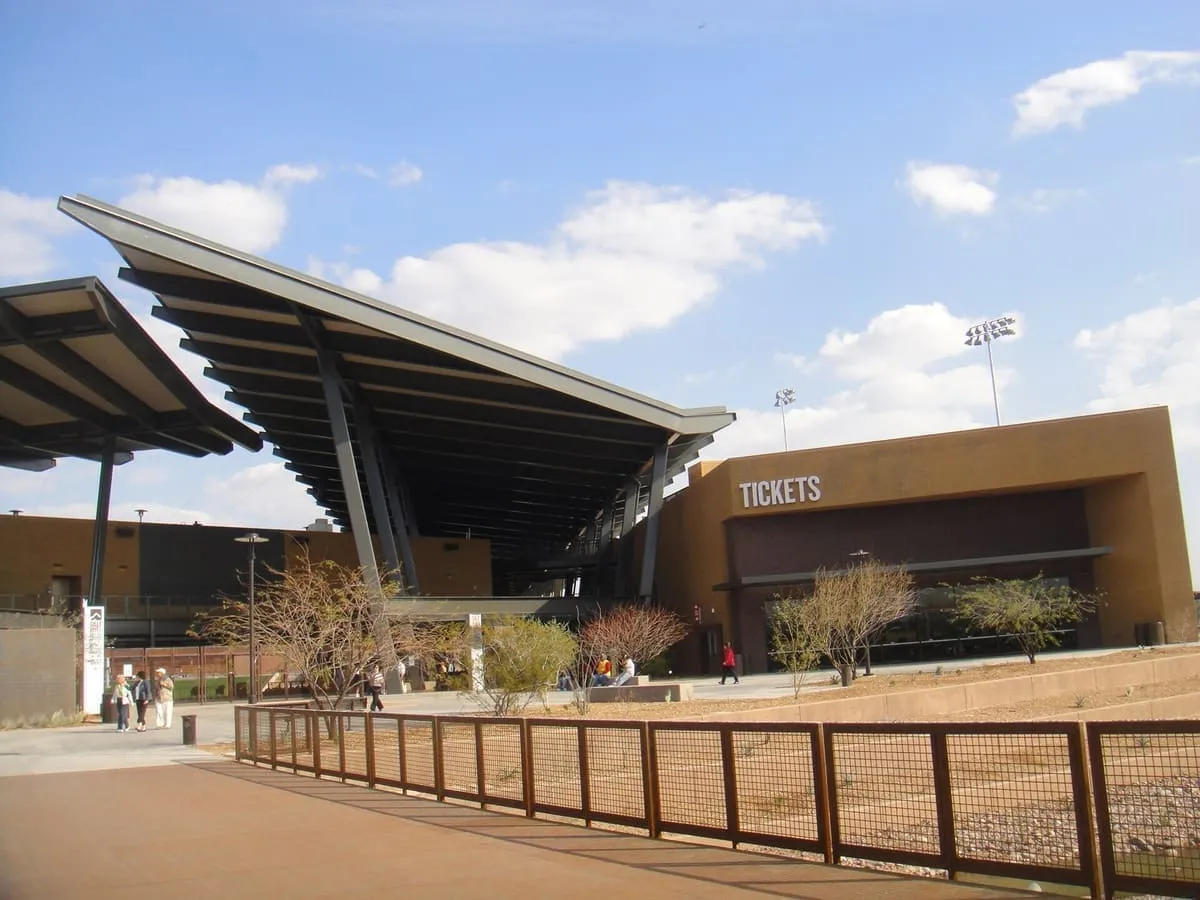
    Salt River Fields at Talking Stick

    The spring-training ground of the Arizona Diamondbacks and Colorado Rockies, and the first Major League ballpark built on tribal land.
  • 287Score 42.3 out of 100
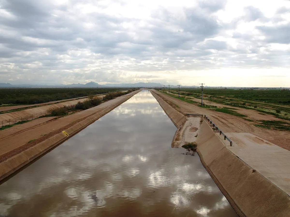
    Arizona Canal

    Landmark

    Arizona Canal

    A canal of nearly 50 miles across Maricopa County, built in the late 1880s and the northernmost in the Salt River Project system.
  • 288Score 42.3 out of 100
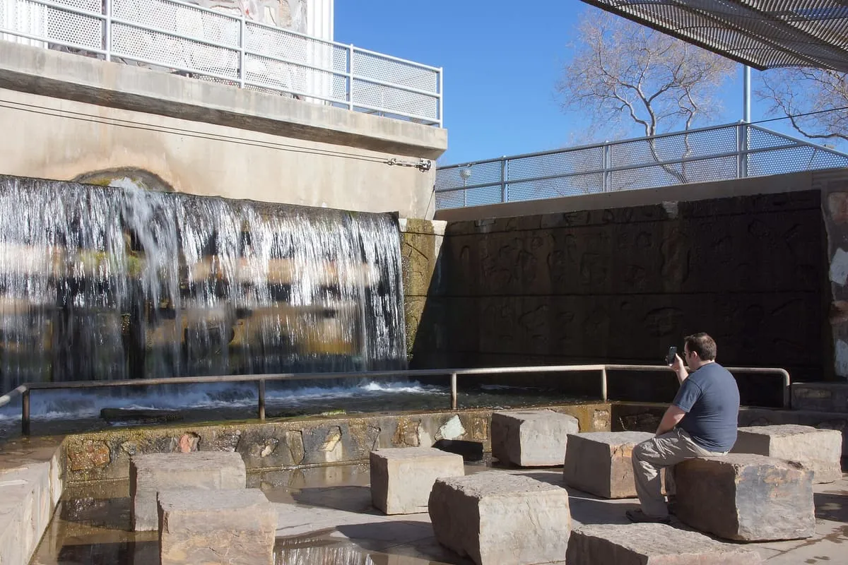
    Arizona Falls

    Waterfall

    Arizona Falls

    A waterfall in Phoenix where the Arizona Canal crosses a 20-foot drop, rebuilt in the early 2000s as public art and a working power station.
  • 289Score 42.3 out of 100
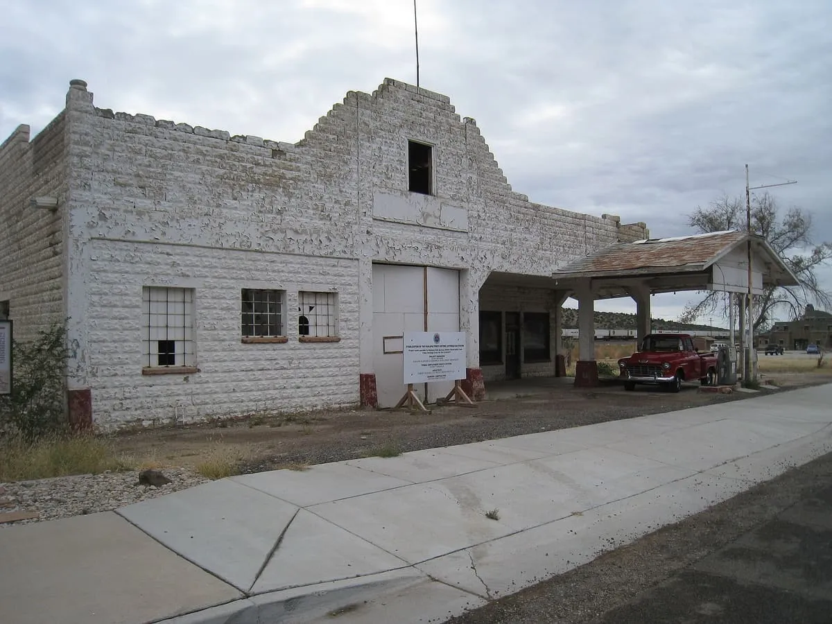
    John Osterman Gas Station

    Historic Site

    John Osterman Gas Station

    A historic Route 66 service station in Peach Springs, owned by the Hualapai and listed on the National Register in 2012.
  • 290Score 42.2 out of 100
    Casa Malpaís Archeological Site and Museum

    Museum

    Casa Malpaís Archeological Site and Museum

    An Ancestral Puebloan archaeological site near Springerville with an astronomical calendar, great kiva and petroglyphs, an NHL since 1964.
  • 291Score 42.2 out of 100
    Fort Buchanan

    Historic Site

    Fort Buchanan

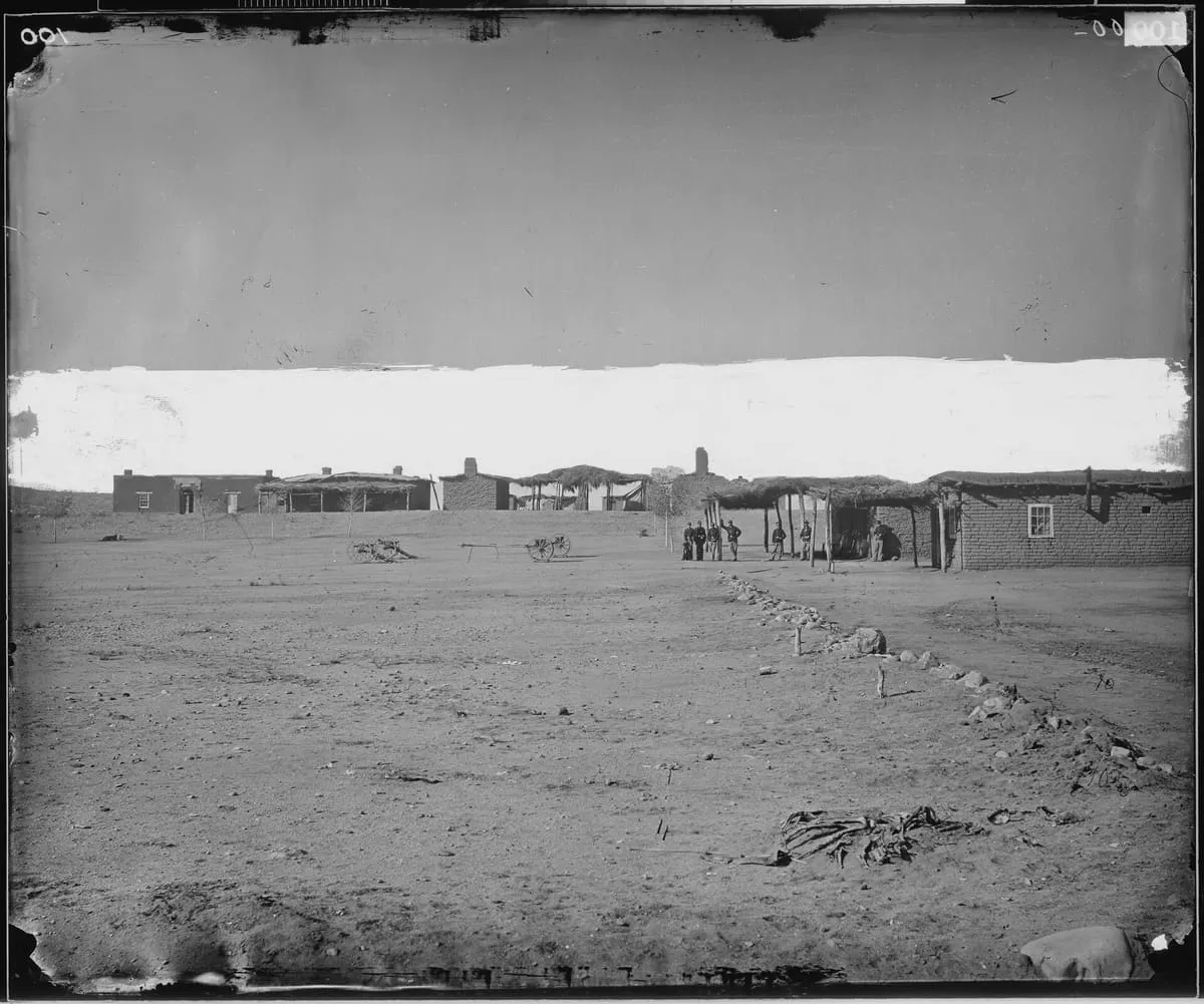
    An 1856 US Army post south-west of Sonoita, burned by Apaches in 1865 and abandoned; its ruins were rediscovered in 1929.
  • 292Score 42.1 out of 100
    Agassiz Peak

    Natural Landmark

    Agassiz Peak

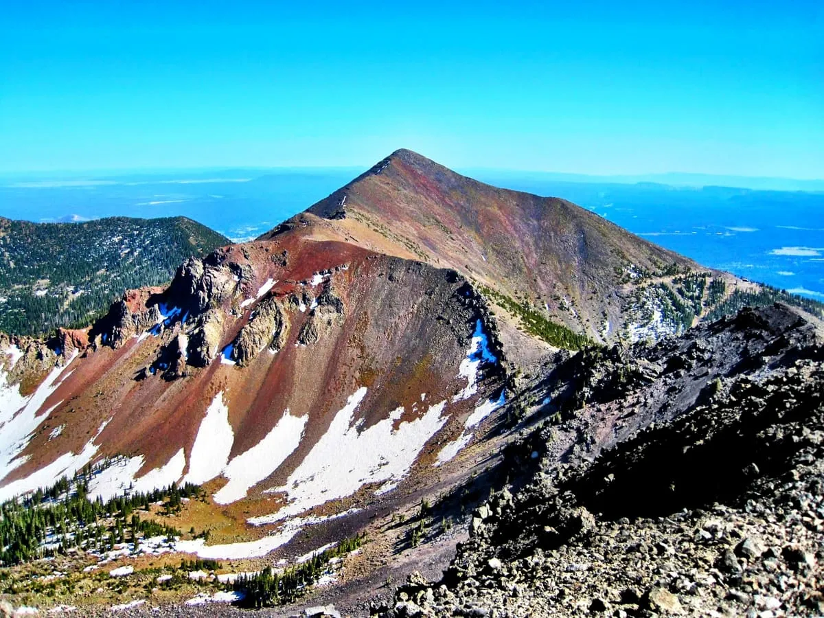
    Arizona's second-highest mountain at 12,360 feet, north of Flagstaff, open to climbers only in winter when it is under snow.
  • 293Score 42.0 out of 100
    Havasupai Trail

    Natural Landmark

    Havasupai Trail

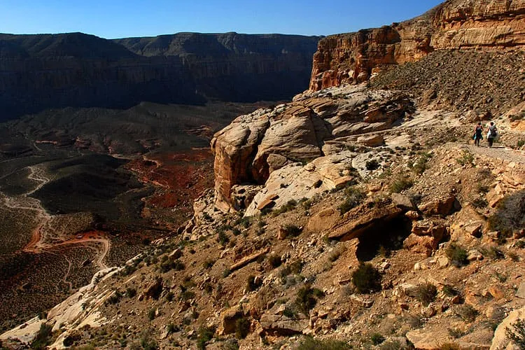
    The main trail to Supai and Havasu Falls; the alternative routes are unmaintained and require special permission to use.
  • 294Score 42.0 out of 100
    The Needles

    Natural Landmark

    The Needles

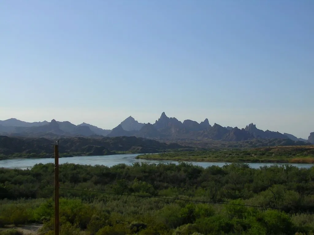
    A group of rock pinnacles beside Topock Gorge and the Colorado River, rising from 1,207 to over 1,600 feet in the Mojave Mountains.
  • 295Score 42.0 out of 100
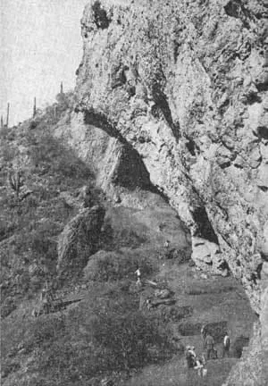
    Ventana Cave

    Historic Site

    Ventana Cave

    A southern Arizona archaeological site excavated from 1941, whose Pleistocene-age finds were redated and reinterpreted by later researchers.
  • 296Score 41.9 out of 100
    Beaver Dam Wash

    Natural Landmark

    Beaver Dam Wash

    A seasonal stream running from Nevada to the Virgin River in Arizona, holding Utah's lowest point at 2,179 feet and desert tortoise habitat.
  • 297Score 41.9 out of 100
    Sulphur Springs Valley

    Natural Landmark

    Sulphur Springs Valley

    A valley in the eastern half of Cochise County, the large flatland west of the Chiricahua and Dos Cabezas mountains.
  • 298Score 41.9 out of 100
    Wesley Bolin Memorial Plaza

    Historic Site

    Wesley Bolin Memorial Plaza

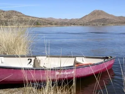
    An urban park in front of the Arizona state capitol in downtown Phoenix, holding memorials to figures, wars and events in state history.
  • 299Score 41.8 out of 100
    Camp Grant

    Historic Site

    Camp Grant

    A US military post at the San Pedro River and Aravaipa Creek, built in 1860 as Fort Breckinridge and replaced in 1872; little of it remains.
  • 300Score 41.8 out of 100
    Escudilla Mountain

    Natural Landmark

    Escudilla Mountain

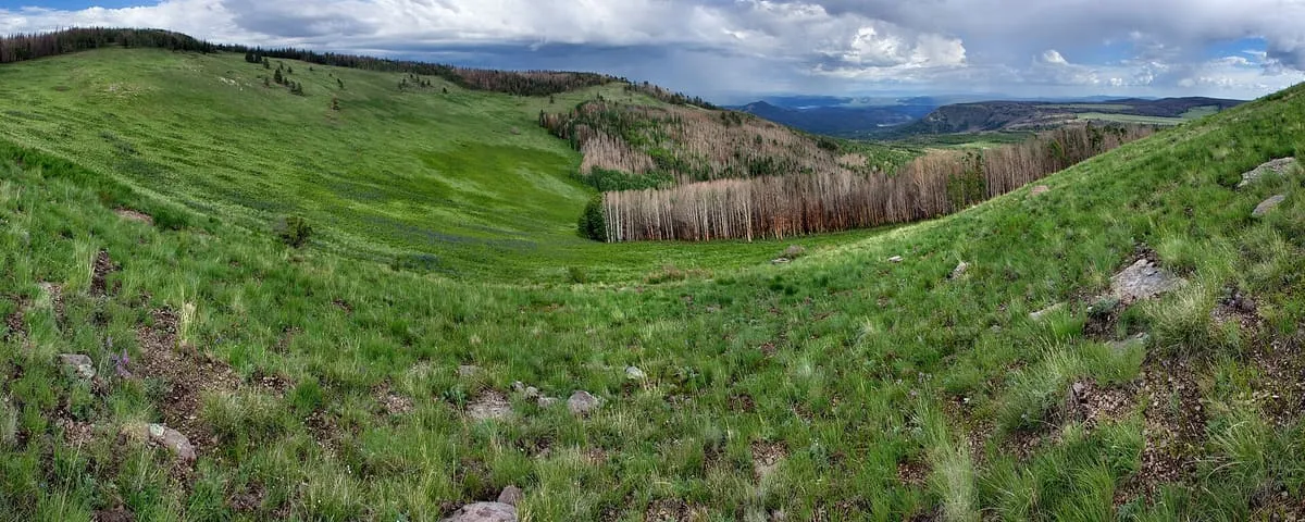
    The third-highest mountain peak in Arizona, in the White Mountains, where the state's last grizzly bear was killed in 1936.